CARTOGRAPHY, MAPS, PLANS
Select by author surname starting with: -
A
B
C
D
E
F
G
H
I
J
K
L
M
N
O
P
Q
R
S
T
U
V
W
X
Y
Z
ALL
You selected authors starting with - E
Records 1 to 3 of 3
New Search

|
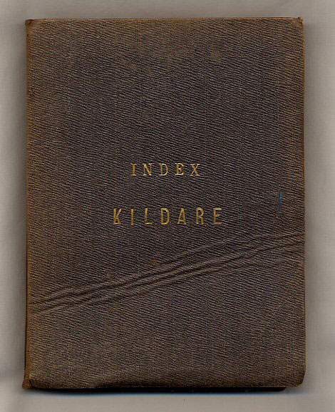
Index to the Townland Survey of the County of Kildare Map Engraved at the Ordnance Survey Office Phoenix Park Under the Direction of Lieutenant Larcom. R.E. in 1838 by Sergeant West of the Royal Sappers and Miners. (Book #ID 19297) 1879 revised edition [First edition 1838]. 1879. Hard back in publisher's original russet cloth covers, gilt lettering to upper panel, marble paper lower paste down. Folded size 7½" x 5¼". Scale of index half inch to one statute mile, scale of Townland survey six inches to one statute mile. 32 section linen backed map opening to 41" x 27". The ornament by J. Macauley. The writing by H. Grandison, complied by John Hackett and William C. Ryan. Produced and drawn by J. Mason and C. B. Cradock. Small black numbers in very neat black fountain, wavy crease line across upper cover and in Very Good clean condition, without any foxing or darkening to the paper, cloth spine slightly faded. Member of the P.B.F.A. Click here to select books from the CARTOGRAPHY, MAPS, PLANS Category |
£350.00 Convert currency |

|
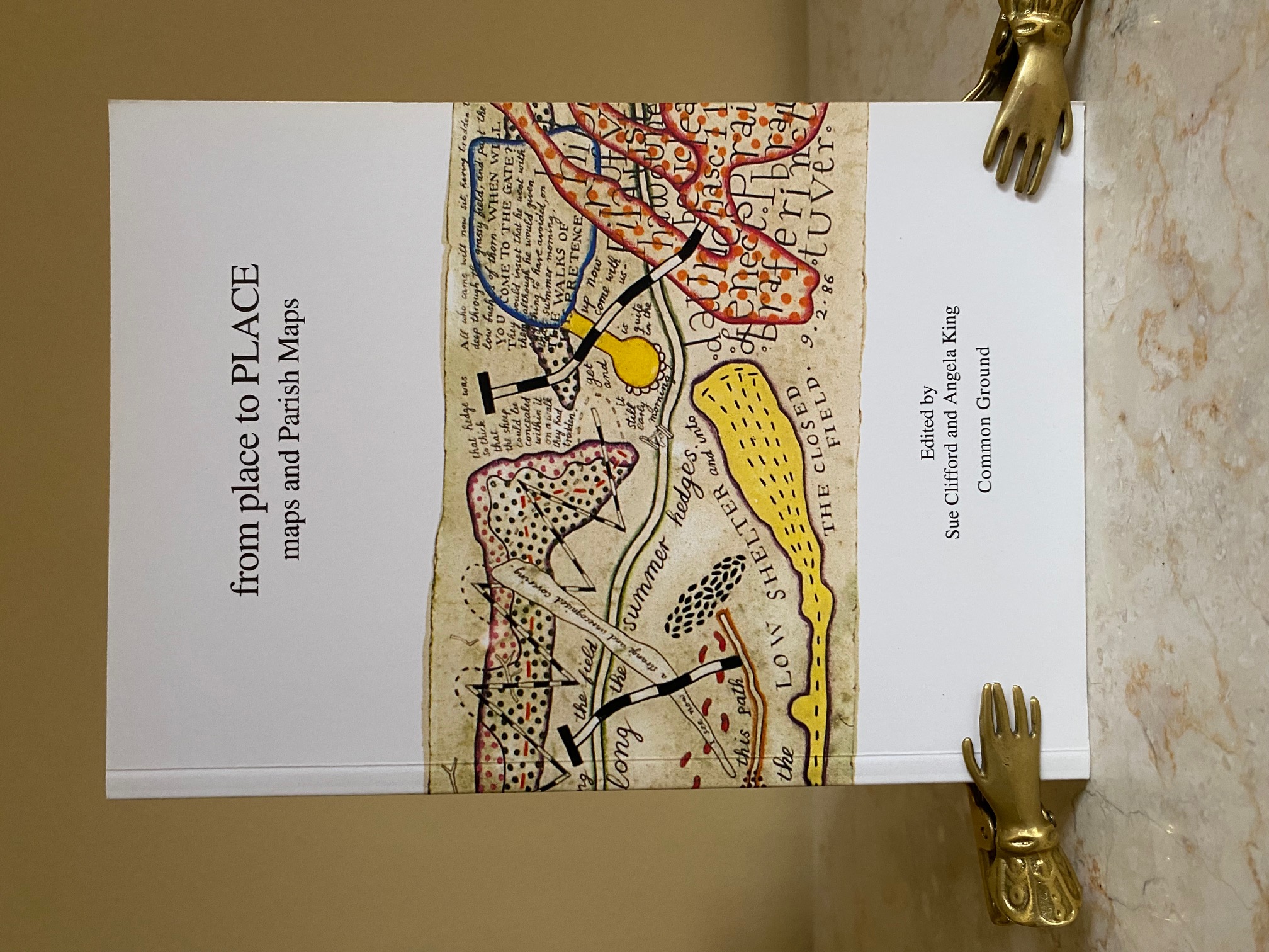
From Place to Place | Maps and Parish Maps Edited by Sue Clifford and Angela King (Book #ID 119582) Published by Common Ground, Seven Dials Warehouse, 44 Earlham Street, London First Edition 1996. 1996. First edition in publisher's original colour illustrated card wrap covers (soft back). 8vo. 8¼'' x 6''. Contains (vi), 104 pp followed by 24 pp coloured maps and photographs. In Fine condition, no dust wrapper as issued. Member of the P.B.F.A. Click here to select books from the CARTOGRAPHY, MAPS, PLANS Category |
£11.00 Convert currency |


|
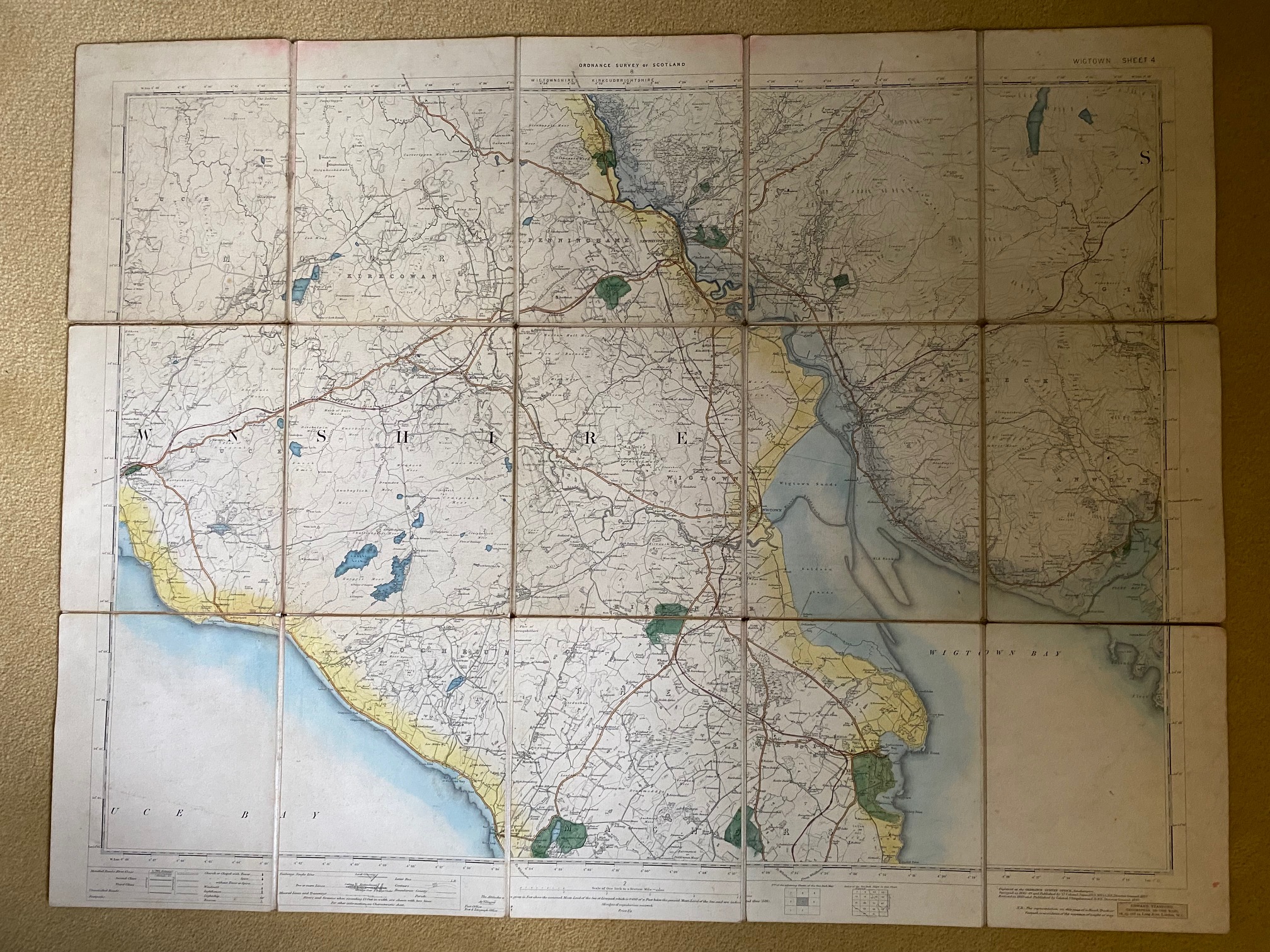
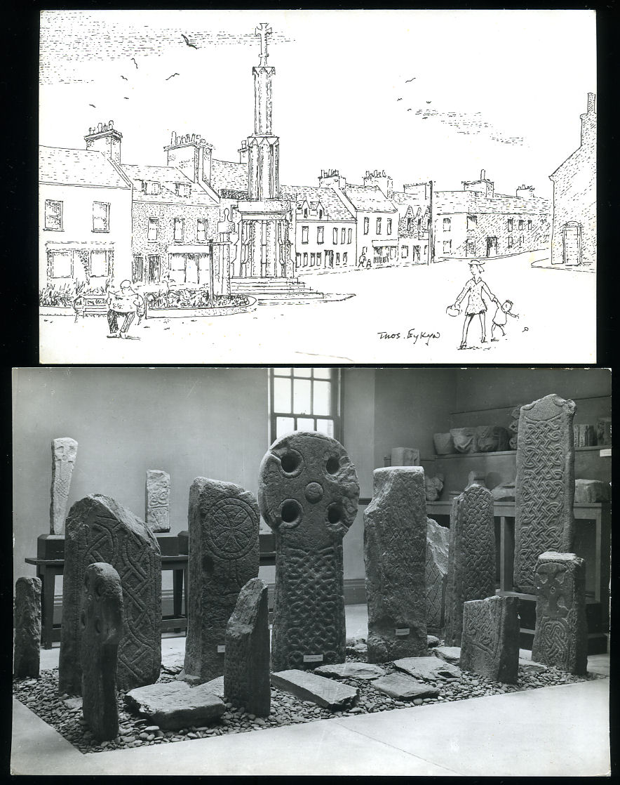
Wigtown, Scotland Map | Sheet 4 + Two Postcards Edward Stanford | Ordnance Survey (Book #ID 109215) Published by Edward Stanford, 12-14 Long Acre, London | Engraved at the Ordnance Survey Office, Southampton, 1897. 1897. Folding 15 section coloured map dissected on linen measuring 27'' x 21''. Scale 1 inch to one statute mile. Front and rear covers covered n Cockerell burgundy paper. Some linen tape repairs to the reverse, without slip case. Member of the P.B.F.A. Click here to select books from the CARTOGRAPHY, MAPS, PLANS Category |
£75.00 Convert currency |
Records 1 to 3 of 3
New Search
