CARTOGRAPHY, MAPS, PLANS
Select by author surname starting with: -
A
B
C
D
E
F
G
H
I
J
K
L
M
N
O
P
Q
R
S
T
U
V
W
X
Y
Z
ALL
You selected authors starting with - H
Records 1 to 5 of 5
New Search
|
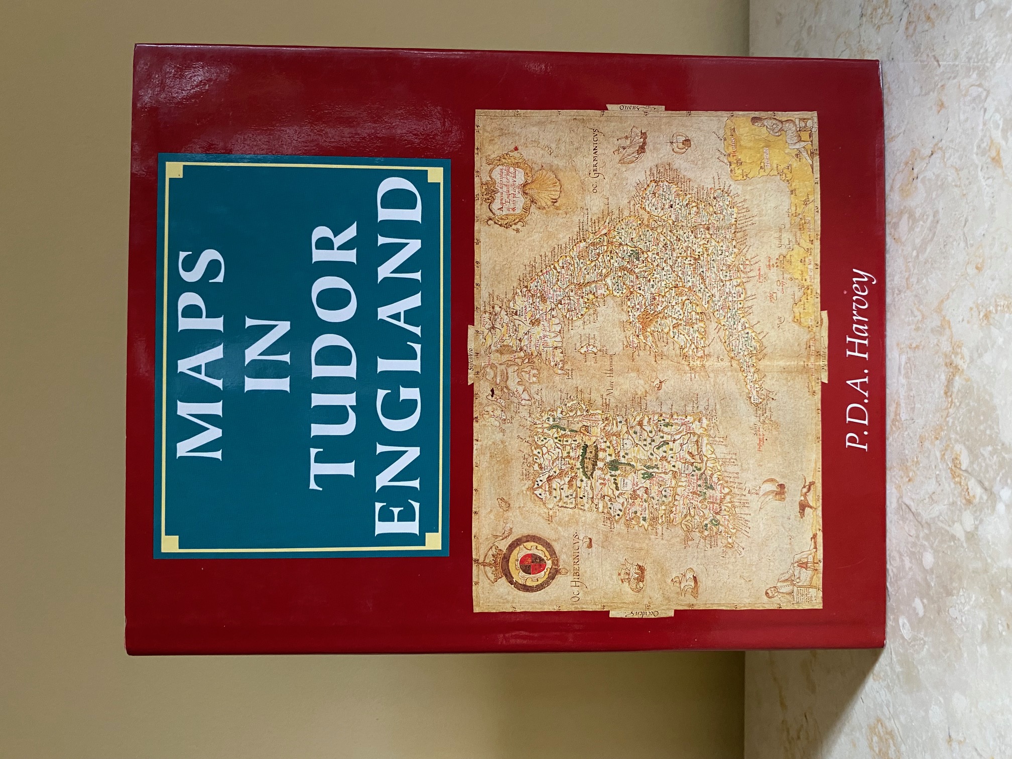
Maps in Tudor England Harvey, P. D. A. (Book #ID 116635) Published by The Public Record Office, Chancery Lane, London | The British Library Publishing, Great Russell Street, London First Edition 1993. 1993. First edition hard back binding in publisher's original scarlet cloth effect covered boards, blocked and lettered gilt back, colour map to the lining papers. 4to. 11'' x 9''. Contains 120 pp with monochrome and colour illustrations and maps throughout. Fine condition book in Fine condition dust wrapper. Member of the P.B.F.A. Click here to select books from the CARTOGRAPHY, MAPS, PLANS Category |
£8.00 Convert currency |
|
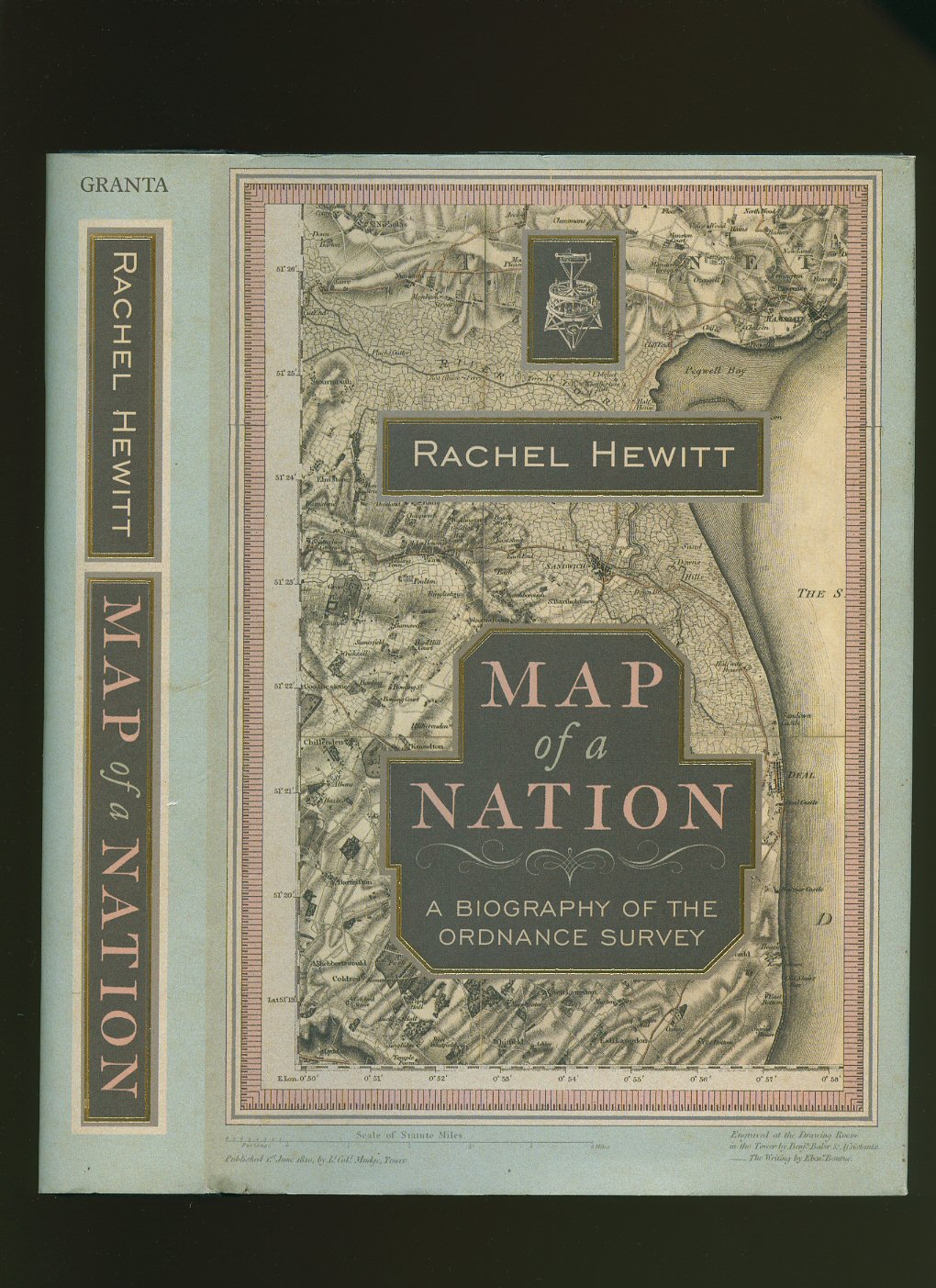
Map of a Nation; A Biography of the Ordnance Survey Hewitt, Rachel (Book #ID 74059) Published by Granta Publications, 12 Addison Avenue, London Third Impression 2010. London 2010. Hard back binding in publisher's original black paper covered boards, gilt title and author lettering to the spine, archive map illustrated end papers. 8vo. 9½'' x 6¼''. Number string to the copyright page 3 5 7 9 10 8 6 4. Contains 436 printed pages of text with monochrome and colour illustrations throughout. Minimal marking to the closed page edges. Fine clean condition book in Fine condition dust wrapper, not price clipped. Dust wrapper supplied in archive acetate film protection, this preserves and prolongs the life of the paper, it is not adhered to the book or to the dust wrapper. Member of the P.B.F.A. ISBN 9781847080981 Click here to select books from the CARTOGRAPHY, MAPS, PLANS Category |
£17.50 Convert currency |
|
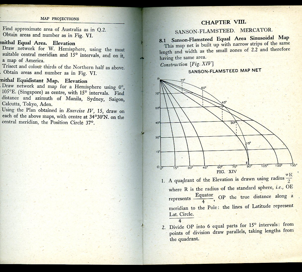
Map Projections By Practical Construction Hinckley, A. (Book #ID 88338) Published by George Philip & Son Ltd., 32 Fleet Street, London First Edition 1942. 1942. First edition in publisher's original olive card wrap covers [softback]. 8vo. 7'' x 5''. Contains 84 printed pages of text with monochrome diagrams throughout. Edges a little scuffed and in Very Good condition, no dust wrapper as issued. Member of the P.B.F.A. Click here to select books from the CARTOGRAPHY, MAPS, PLANS Category |
£9.00 Convert currency |
|
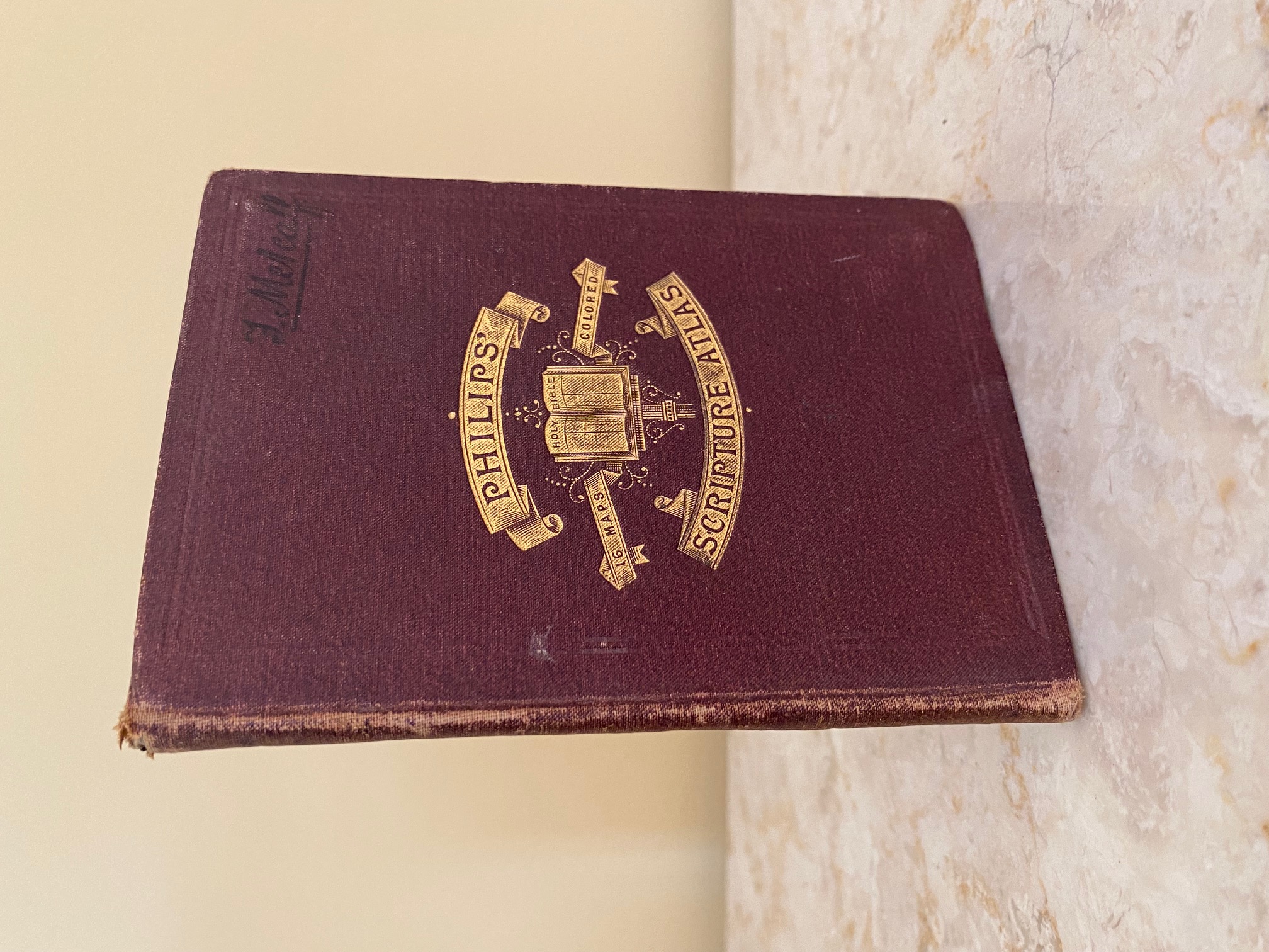
Philips' Scripture Atlas Hughes, William (Book #ID 113819) Published by George Philip & Son, 32 Fleet Street, London 1887. 1887. Hard back binding in publisher's original russet cloth covered boards, blocked and lettered in gilt to the front board, lemon end papers. 16mo. 5½'' x 4''. Contains 14 double-page colour maps and 2 double-page colour plans. Ink name to the front board and front free end paper, spine sun faded. Member of the P.B.F.A. Click here to select books from the CARTOGRAPHY, MAPS, PLANS Category |
£25.00 Convert currency |
|
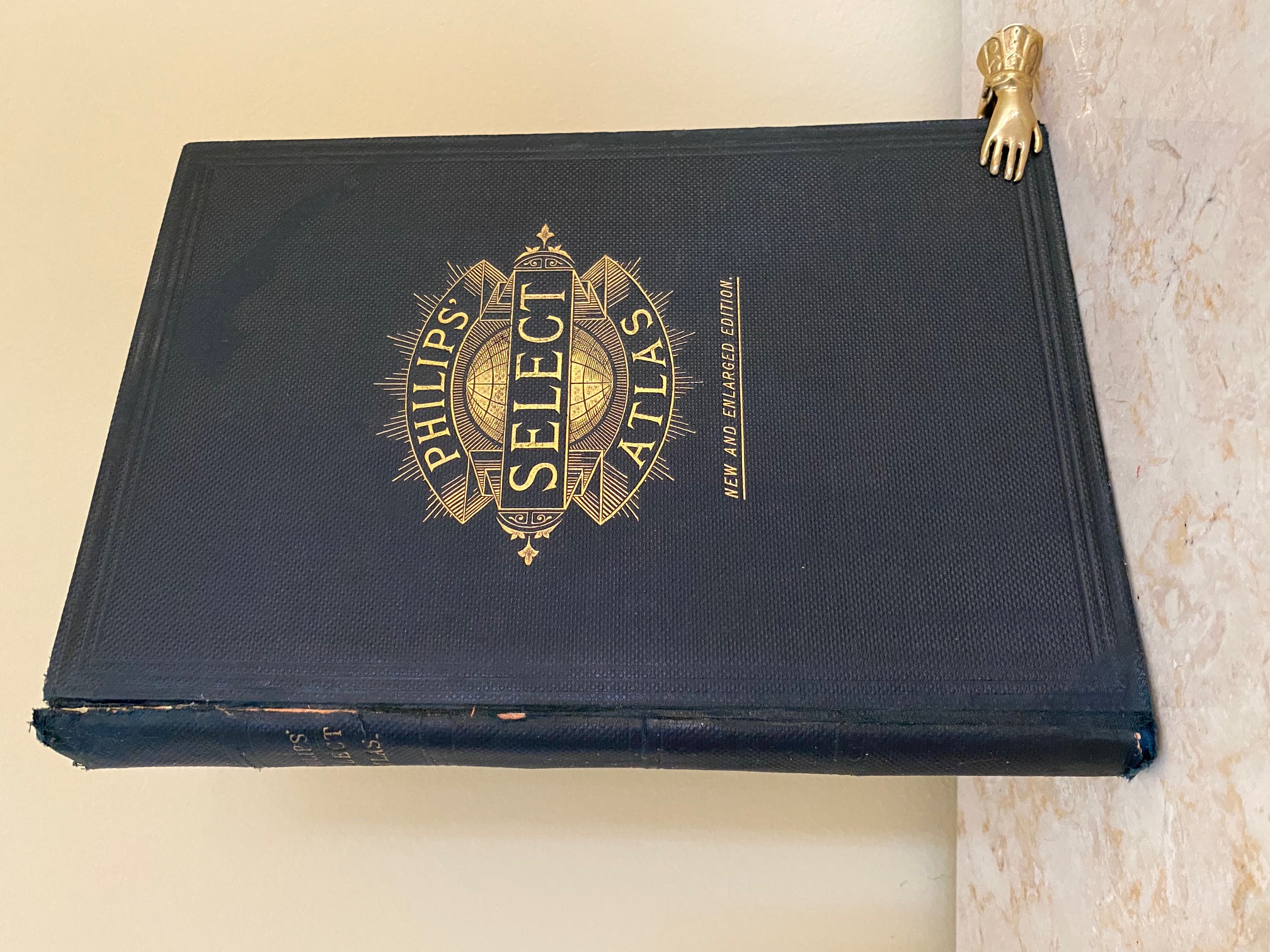
Philip's Select Atlas of Modern Geography Containing Thirty-Six Maps | with a Copious Consulting Index Hughes, William [Edited by] George Philip (Book #ID 113849) Published by George Philip & Son., 32 Fleet Street, London New and Enlarged Edition 1886. 1886. Hard back binding in publisher's original dark green pebble cloth covered boards, blocked and lettered gilt back and front. 4to. 11'' x 7½''. Contains comparative frontispiece of the principal mountains and rivers in the world, double gate-fold atlas of the world + 36 gate- folded single-sided double-page colour maps + 38 index. Rubbing of the cloth to the spine edges and in Very Good clean condition. Member of the P.B.F.A. Click here to select books from the CARTOGRAPHY, MAPS, PLANS Category |
£150.00 Convert currency |
Records 1 to 5 of 5
New Search
