CARTOGRAPHY, MAPS, PLANS
Select by author surname starting with: -
A
B
C
D
E
F
G
H
I
J
K
L
M
N
O
P
Q
R
S
T
U
V
W
X
Y
Z
ALL
You selected authors starting with - O
Records 1 to 8 of 8
New Search
|
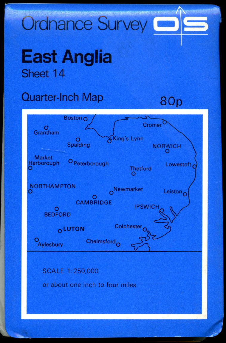
Ordnance Survey Quarter-Inch Map of Great Britain (Blue Covers) Sheet 14: East Anglia Ordnance Survey (Book #ID 90974) Published by Director General of the Ordnance Survey, Surrey and Southampton July 1973. 1973 Paper folded. Quarter-Inch Map. Scale 1 :250 000 or About One Inch to Four Miles. In Very Good clean condition. Member of the P.B.F.A. Click here to select books from the CARTOGRAPHY, MAPS, PLANS Category |
£6.00 Convert currency |

|
Ordnance Survey Quarter-Inch Map of Great Britain (Blue Covers)(Blue Covers) Sheet 15: South West England Ordnance Survey (Book #ID 90975) Published by Director General of the Ordnance Survey, Surrey and Southampton March 1974. 1974. Paper folded. Quarter-Inch Map. Scale 1 :250 000 or About One Inch to Four Miles. In Very Good clean condition. Member of the P.B.F.A. Click here to select books from the CARTOGRAPHY, MAPS, PLANS Category |
£6.00 Convert currency |
|
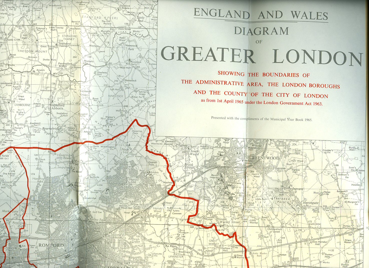
Ordnance Survey Map Showing Diagram of Greater London Showing Boundaries of the Administrative Area, The London Boroughs and the County of the City of London as from 1st April 1965 Under the London Government Act 1963 (Wall Map) Ordnance Survey (Book #ID 93686) Published by Ordnance Survey Office Chessington, Surrey 1964. 1964. 33'' x 42'' paper folding black line map with different thickness red boundary lines. In Fine condition. Member of the P.B.F.A. Click here to select books from the CARTOGRAPHY, MAPS, PLANS Category |
£25.00 Convert currency |
|
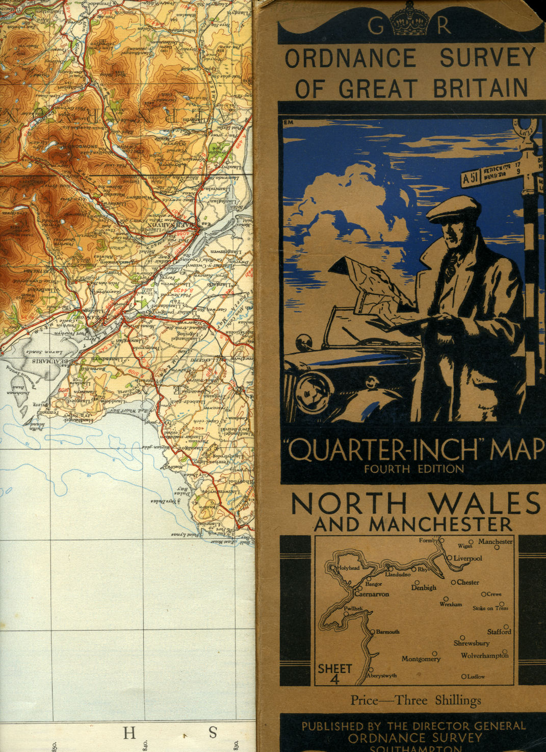
Ordnance Survey of Great Britain | Quarter-Inch Map | Fourth Edition | Sheet 4: North Wales and Manchester Ordnance Survey Office, Southampton (Book #ID 100867) Published by Minister of Agriculture and Fisheries for Ordnance Survey Office, Southampton Fourth Edition 1934. 1934. Publisher's original illustrated front cover brown and blue card covered single-sided map. 12'' x 5'' which folds out to measure 42" x 24". Scale of map is 4 miles to 1 inch, mounted in sections on linen, includes fold-out sheet of 17 town plans with with inset details of Mersey Tunnel Charges and Horse Power limitations. Small chip to the top front corner of the front cover and in Very Good clean and crisp condition. Member of the P.B.F.A. Click here to select books from the CARTOGRAPHY, MAPS, PLANS Category |
£12.50 Convert currency |

|
Ancient Britain | North Sheet | A Map of the Major Visible Antiquities of Great Britain Older Than A.D. 1066 Ordnance Survey (Book #ID 109896) Published by Ordnance Survey, Chessington, Surrey, Second Edition 1964. 1964. Folding 28 section paper coloured map measuring 41'' x 32''. Scale 1 inch to ten statute miles. 24 pp gazetteer. Map in pristine condition, card covers sun faded. Member of the P.B.F.A. Click here to select books from the CARTOGRAPHY, MAPS, PLANS Category |
£11.00 Convert currency |

|
Ordnance Survey Quarter-Inch Map of Great Britain (Blue Covers) Sheet 17: South East England Ordnance Survey (Book #ID 90977) Published by Director General of the Ordnance Survey, Surrey and Southampton October 1974. 1974. Paper folded. Quarter-Inch Map. Scale 1 :250 000 or About One Inch to Four Miles. In Very Good clean condition. Member of the P.B.F.A. Click here to select books from the CARTOGRAPHY, MAPS, PLANS Category |
£6.00 Convert currency |
|
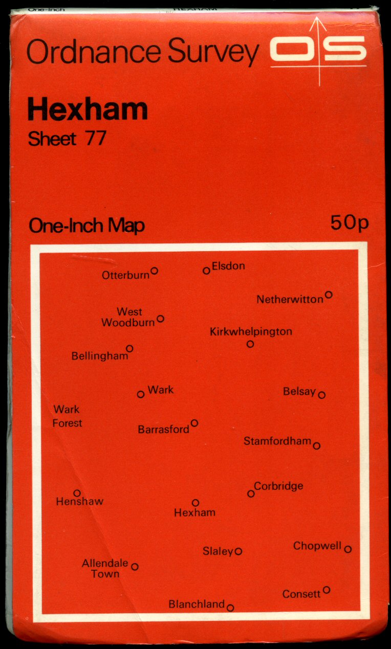
Ordnance Survey One-Inch Map (One Inch Series Red Covers) of Great Britain Sheet 76: Carlisle Ordnance Survey (Book #ID 90993) Published by Director General of the Ordnance Survey, Surrey and Southampton 1971. 1971. Paper folded. Scale: One Inch to One Statute Mile. In Very Good clean condition. Member of the P.B.F.A. Click here to select books from the CARTOGRAPHY, MAPS, PLANS Category |
£6.00 Convert currency |
|
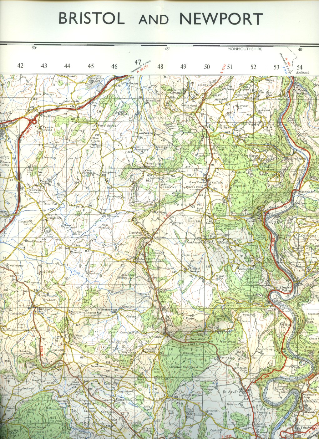
Ordnance Survey Map of Great Britain One Inch to One Mile (Seventh Series) Sheet 155: Bristol and Newport Ordnance Survey (Book #ID 91039) Published by Director General of the Ordnance Survey, Surrey and Southampton 1971. 1971. Paper folded colour contoured map without covers as issued. Scale One Inch to One Mile. In Very Good clean condition. Member of the P.B.F.A. Click here to select books from the CARTOGRAPHY, MAPS, PLANS Category |
£6.00 Convert currency |
Records 1 to 8 of 8
New Search
