CARTOGRAPHY, MAPS, PLANS
Select by author surname starting with: -
A
B
C
D
E
F
G
H
I
J
K
L
M
N
O
P
Q
R
S
T
U
V
W
X
Y
Z
ALL
You selected authors starting with - S
Records 1 to 2 of 2
New Search

|
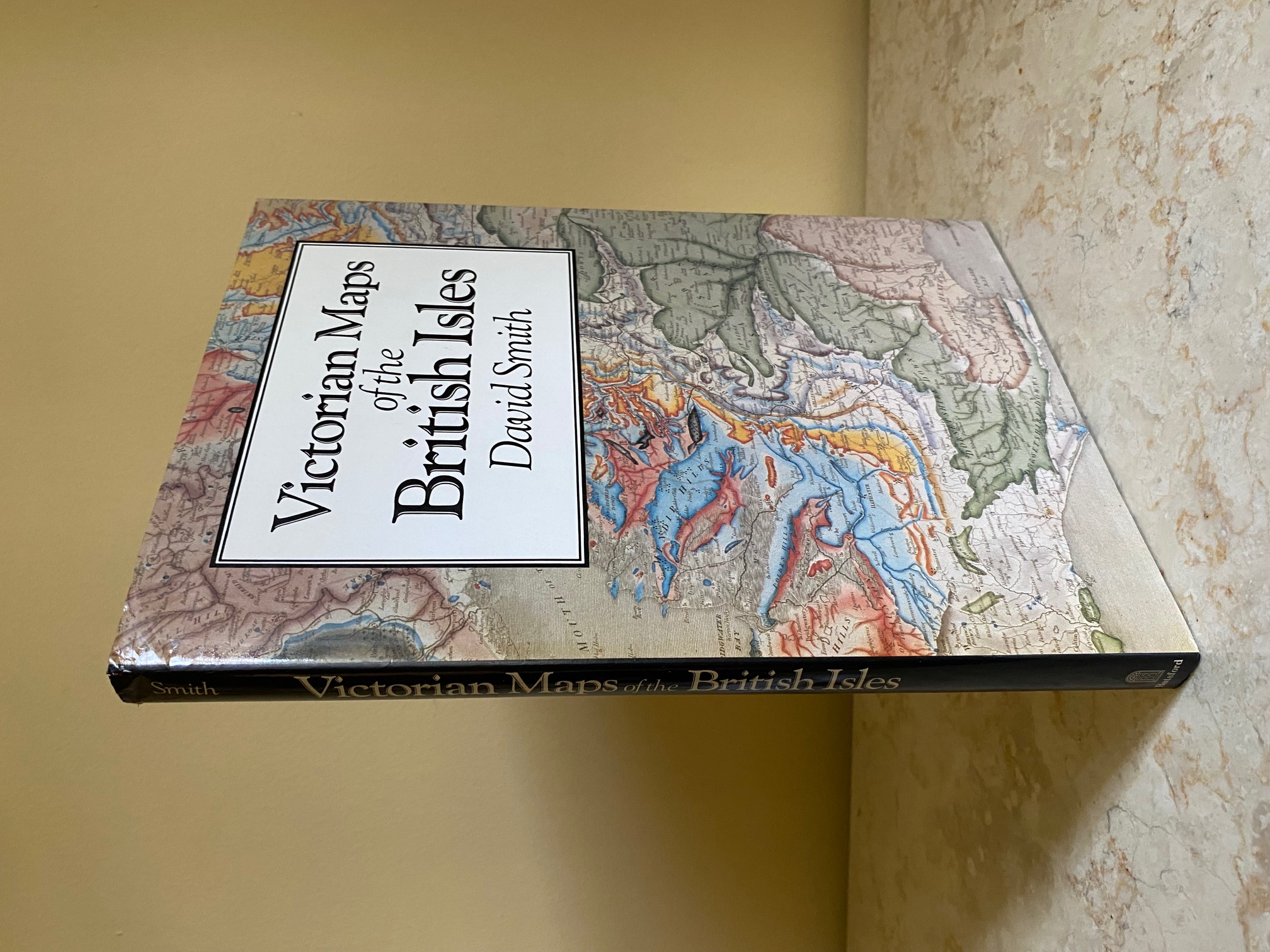
Victorian Maps of the British Isles Smith, David (Book #ID 110687) Published by B. T. Batsford Ltd., 4 Fitzhardinge Street, Portman Square, London First Edition 1985. 1985. First edition hard back binding in publisher's original black cloth covered boards, blocked and lettered gilt back. 4to. 11½'' x 8½''. Contains 176 pp with 8 colour and 89 monochrome illustrations. Fine condition book in Fine condition dust wrapper, not price clipped. Dust wrapper supplied in archive acetate film protection. Member of the P.B.F.A. ISBN 071344178X Click here to select books from the CARTOGRAPHY, MAPS, PLANS Category |
£11.00 Convert currency |
![Imago Mvndi [Mundi]: The Journal of The International Society for The History of Cartography. No. 28, Second Series, Volume 2](covers/89153.jpg)
|
Imago Mvndi [Mundi]: The Journal of The International Society for The History of Cartography. No. 28, Second Series, Volume 2 Schilder, Gunter, et al [Editor E. M. J. Campbell] (Book #ID 89153) Published by Imago Mundi Ltd., c/o Lympne Castle, Kent First Edition 1976. 1976. First edition hard back binding in publisher's original air force blue cloth covers, gilt title to the spine. 4to 12'' x 8½''. Contains 149 printed pages of text with monochrome maps, illustrations and photographs throughout. Tiny rubs to the spine ends and corners and in Very Good condition, no dust wrapper as issued. Member of the P.B.F.A. ISBN 03085694 Click here to select books from the CARTOGRAPHY, MAPS, PLANS Category |
£45.00 Convert currency |
Records 1 to 2 of 2
New Search
