CARTOGRAPHY, MAPS, PLANS
Select by author surname starting with: -
A
B
C
D
E
F
G
H
I
J
K
L
M
N
O
P
Q
R
S
T
U
V
W
X
Y
Z
ALL
You selected authors starting with -
|
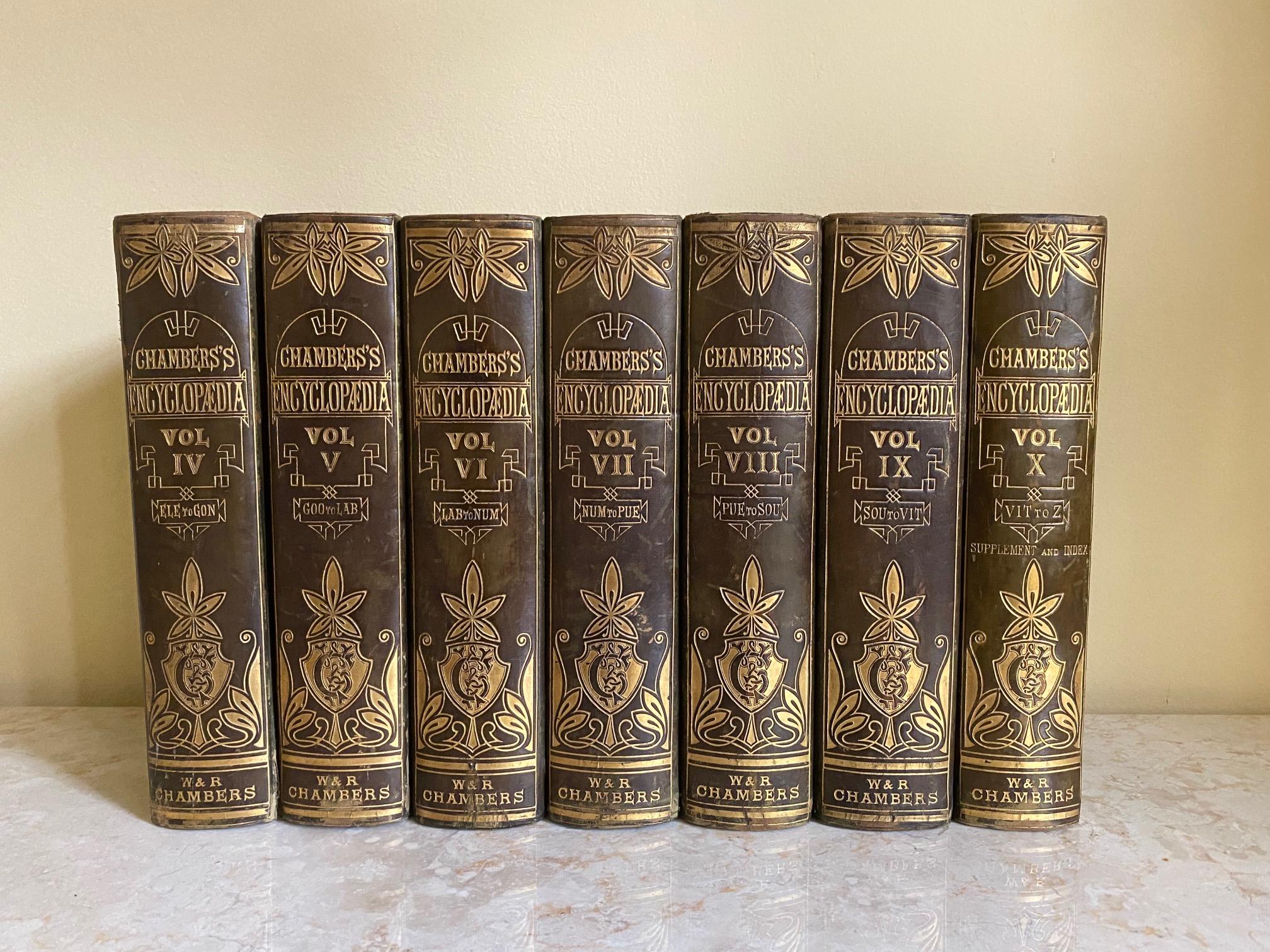
Chambers's Encyclopaedia | A Dictionary of Universal Knowledge for the People Illustrated with Maps and Numerous Wood Engravings | Volume VIII Only (PUE-SOU) | Colour Maps of: Queensland (Australia), Roman Empire (in its greatest extent), and Russia in Europe W. & R. Chambers [Andrew Findlater (Editor) Assisted by John M. Ross] (Book #ID 110656) Published by W. & R. Chambers, 47 Paternoster Row, London | High Street, Edinburgh 1866. 1866. Hard back binding in publisher's original half green calf, green cloth sides, elaborately tooled and lettered gilt back, smart marble page edges and end papers. Quarto. 10½'' x 7¼''. Contains letters (PUE-SOU), 3 double-page colour maps of Queensland (Australia), Roman Empire (in its greatest extent), and Russia in Europe. Heavy volume weighing 2 kg, extra postage will be requested over and above our default setting for destinations outside of the UK. Member of the P.B.F.A. Click here to select books from the CARTOGRAPHY, MAPS, PLANS Category |
£25.00 Convert currency |
|
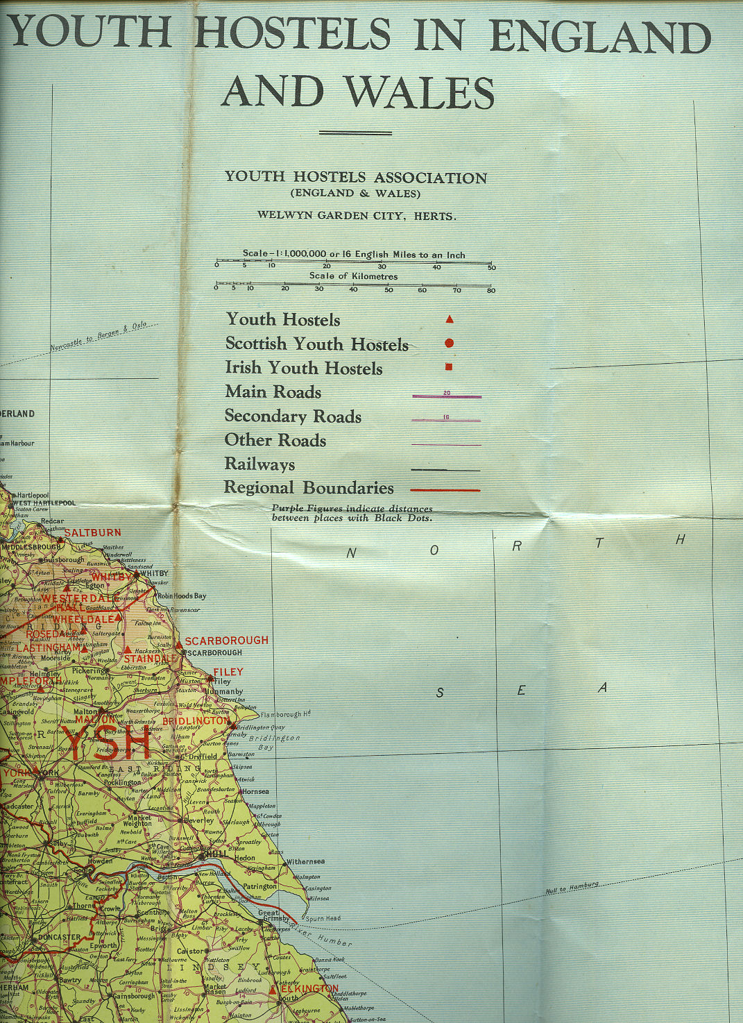
Youth Hostels in England and Wales Map Youth Hostels Association [John Bartholomew] (Book #ID 106966) Published by Youth Hostels Association, Strand, London | John Bartholomew circa 1920. 1920. Folded paper colour section map. 26" x 30". Scale 16 miles to 1 inch. Youth hostels overprinted in red. Member of the P.B.F.A. Click here to select books from the CARTOGRAPHY, MAPS, PLANS Category |
£6.00 Convert currency |

|
Language of Maps | Certificate Geography | Including Second Series Ordnance Survey Maps Wilson, John G. (Book #ID 110265) Published by Schofield and Sims Ltd., Huddersfield Revised and Reprinted Edition 1987. 1987. Publisher's original colour illustrated card wrap covers (soft back). 4to. 11½'' x 9¼''. Contains 55 pp with monochrome and colour maps, figures, plans and archive photographs throughout. In Fine condition, no dust wrapper as issued. Member of the P.B.F.A. Click here to select books from the CARTOGRAPHY, MAPS, PLANS Category |
£11.00 Convert currency |
![Esso Road Map No. 4 Wales and Midlands [2]](covers/41969.jpg)
|
Esso Road Map No. 4 Wales and Midlands [2] Illustration by 'Blake' to front cover (Book #ID 41969) Published and Printed by Edward Stanford Ltd., for the Esso Petroleum Co. Ltd., circa 1950. 1950. Fold-out twin sided map five miles to the inch 27'' x 23'' with water colour illustration by 'Blake' to front cover, original selling price of 6d to front cover. In Very Good clean condition. Member of the P.B.F.A. Click here to select books from the CARTOGRAPHY, MAPS, PLANS Category |
£5.00 Convert currency |

|
Collecting Antique Maps | An Introduction to the History of Cartography | A New Edition Potter, Jonathan (Book #ID 102067) Published by Jonathan Potter Ltd., 125 New Bond Street, London Revised Edition 1999. 1999. Revised edition hard back binding in publisher's original emerald green cloth covers, gilt title and author lettering to the spine, emerald green end papers. 4to. 12'' x 9''. Contains 207 printed pages with over 100 colour and numerous black and white photographs, describing maps from the 15th to late 19th centuries covering all areas of the world, including the British counties, sections detailing the history of town plans, sea and celestial charts, discusses the work of all major European map-makers, written by one of the world's leading map dealers. The new chapters introduce maps of the 19th century and provide up-dated information and a bibliography for collectors. Fine condition book in Fine condition dust wrapper, unused new book, never opened. Member of the P.B.F.A. ISBN 0951157752 Click here to select books from the CARTOGRAPHY, MAPS, PLANS Category |
£35.00 Convert currency |
|
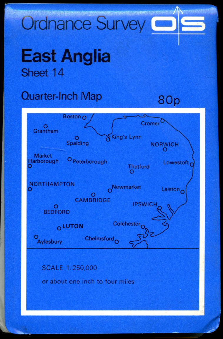
Ordnance Survey Quarter-Inch Map of Great Britain (Blue Covers) Sheet 14: East Anglia Ordnance Survey (Book #ID 90974) Published by Director General of the Ordnance Survey, Surrey and Southampton July 1973. 1973 Paper folded. Quarter-Inch Map. Scale 1 :250 000 or About One Inch to Four Miles. In Very Good clean condition. Member of the P.B.F.A. Click here to select books from the CARTOGRAPHY, MAPS, PLANS Category |
£6.00 Convert currency |

|
Ordnance Survey Quarter-Inch Map of Great Britain (Blue Covers)(Blue Covers) Sheet 15: South West England Ordnance Survey (Book #ID 90975) Published by Director General of the Ordnance Survey, Surrey and Southampton March 1974. 1974. Paper folded. Quarter-Inch Map. Scale 1 :250 000 or About One Inch to Four Miles. In Very Good clean condition. Member of the P.B.F.A. Click here to select books from the CARTOGRAPHY, MAPS, PLANS Category |
£6.00 Convert currency |
|
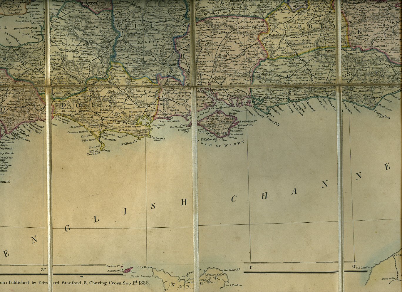
Stanford's Portable Map of England and Wales with The Railways Clearly Delineated, The Cities and Towns Distinguished According to their Population and The Mountains and Hills Carefully Reproduced From The Ordnance Survey. [Edward Stanford] (Book #ID 49111) Published by Edward Stanford, 6 Charing Cross London September 1st 1866. London 1866. Hard back binding in publisher's original deep burgundy cloth covered boards, gilt lettering to the front cover, yellow paper advertising Stanford's Series of New Library Maps inside the front cover and the reverse of the rear folded section. 8vo. 7'' x 5''. 35 section cloth backed colour map opening to 32½" x 29½". Old damp stain down the inside front board which has wept a dull red stain to one top left hand section, their is also an old stain across the last crease line to the bottom of the map, this is to the linen reverse and not on the face of the map, without any ownership marks or any tears, folded lines without any fraying, rubbing of the cloth to the corners of the boards and the spine ends. Member of the P.B.F.A. Click here to select books from the CARTOGRAPHY, MAPS, PLANS Category |
£95.00 Convert currency |
![Ordnance Survey Map of Teesdale: Sheet 84 [1]](covers/53847.jpg)
|
Ordnance Survey Map of Teesdale: Sheet 84 [1] (Book #ID 53847) Published by Ordnance Survey Office Chessington, Surrey 1955. 1955. Red and cream covers, paper folded map. One Inch to One Mile. In Very Good condition. Member of the P.B.F.A. Click here to select books from the CARTOGRAPHY, MAPS, PLANS Category |
£6.00 Convert currency |
![Ordnance Survey Map of Penrith: Sheet 83 [2]](covers/53848.jpg)
|
Ordnance Survey Map of Penrith: Sheet 83 [2] (Book #ID 53848) Published by Ordnance Survey Office Chessington, Surrey 1955. 1955. Red and cream covers paper folded map. One Inch to One Mile. In Very Good condition. Member of the P.B.F.A. Click here to select books from the CARTOGRAPHY, MAPS, PLANS Category |
£6.00 Convert currency |
|
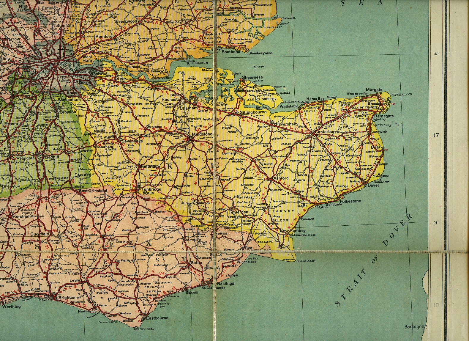
Map of England and Wales Showing Railways, Roads and Distances [Bacon, G. W.] The Chart Publishing Company (Book #ID 49108) Published by The Chart Publishing Company, 7 St. John Street, Oxford circa 1880. 1880. Hard back binding in publisher's original camel brown cloth covers, gilt title to the upper panel. Scale 8 miles to 1 inch. Code to bottom left hand corner of each map G 1071. 8vo. 10'' x 7''. Two linen backed 18 section colour maps, one to each side of the book when opened, North Sheet and South Sheet. Each map measuring 40'' x 29'' and 40'' x 25'' when opened. In Very Good clean condition with just a little fraying of the cloth the the spine ends of the book, priced 45/-. Member of the P.B.F.A. Click here to select books from the CARTOGRAPHY, MAPS, PLANS Category |
£50.00 Convert currency |
|
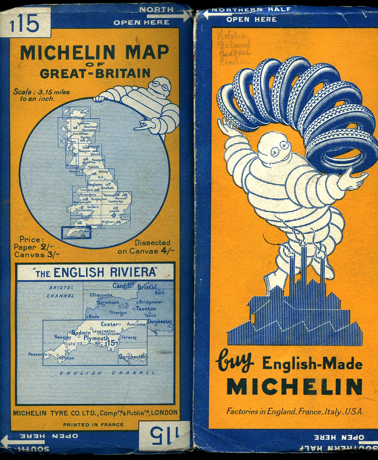
Michelin Map of Great Britain No. 115: The English Riviera [Michelin Map of Great Britain] (Book #ID 64662) Published by Michelin Tyre Co. Ltd., 81 Fulham Road, London circa 1925. 1925. Publisher's original orange and blue card covered 20 section colour map dissected on canvas opening to 45'' x 19'' and closing to 10'' x 5''. Scale 3.15 miles to an inch. A little rubbing to the edges of card covers and in Very Good clean condition. Member of the P.B.F.A. Click here to select books from the CARTOGRAPHY, MAPS, PLANS Category |
£11.00 Convert currency |
![Ordnance Survey One Inch Map: Sheet 179 Bournemouth [Seventh Series] [2]](covers/61291.jpg)
|
Ordnance Survey One Inch Map: Sheet 179 Bournemouth [Seventh Series] [2] [Ordnance Survey Map] (Book #ID 61291) Published by Ordnance Survey Office Chessington, Surrey Seventh Series 1962. 1962. Cloth backed paper folded. One Inch to One Mile. In Very Good condition. Member of the P.B.F.A. Click here to select books from the CARTOGRAPHY, MAPS, PLANS Category |
£5.00 Convert currency |
|
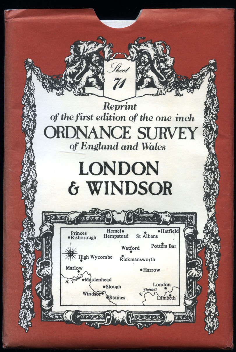
London and Windsor | Sheet No. 71 | Reprint of the First Edition of the One-inch Ordnance Survey of England and Wales. Cartographical Notes by J. B. Harley [Ordnance Survey] (Book #ID 103871) Published by David & Charles Ltd., Brunel House, Newton Abbot, Devon Second Impression 1979. 1979. Single sheet map folded into cream and brown envelope. In Fine condition. Member of the P.B.F.A. Click here to select books from the CARTOGRAPHY, MAPS, PLANS Category |
£11.00 Convert currency |
|
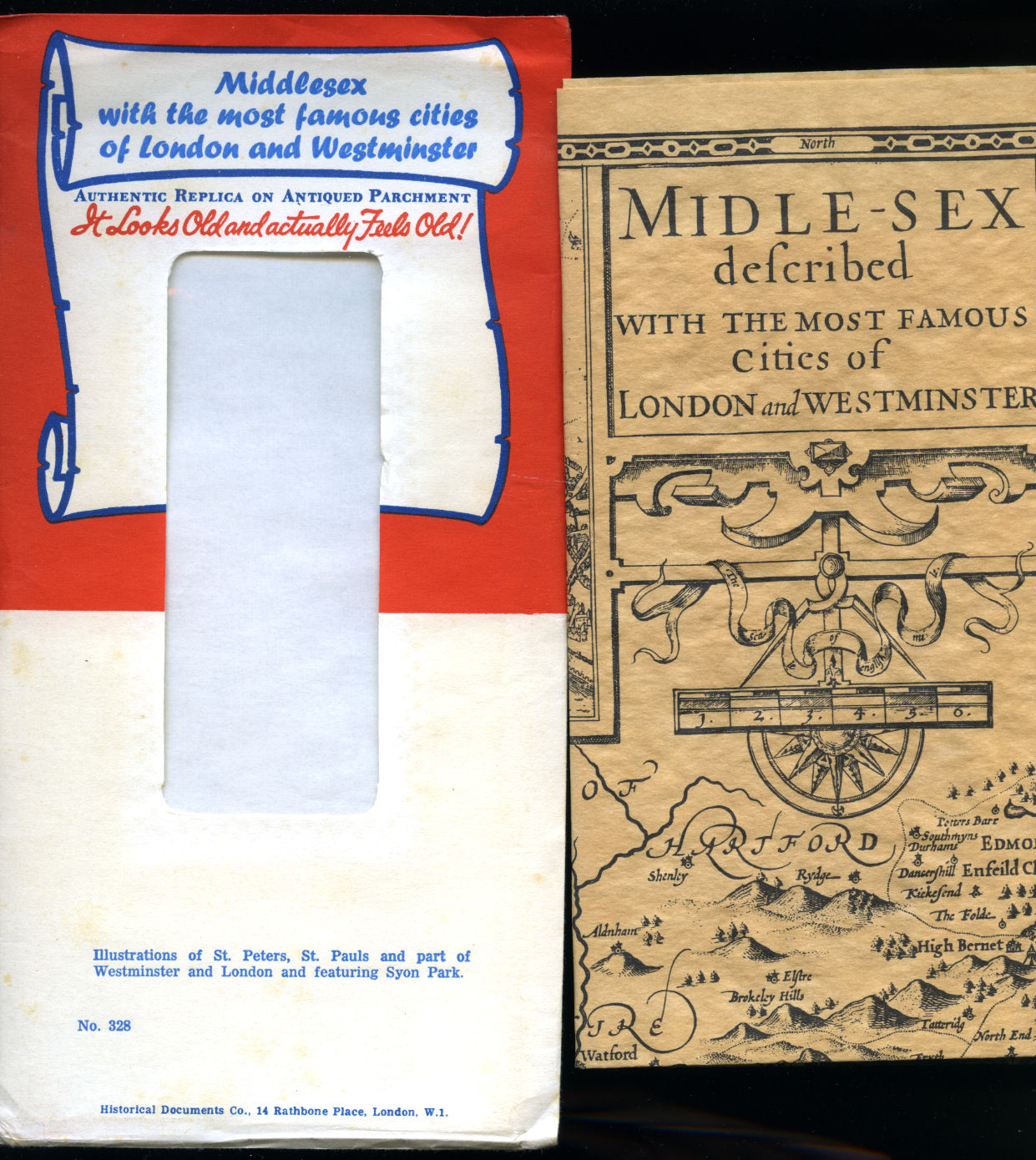
Midle-Sex (Middlesex) Described with the Most Famous Cities of London and Westminster | Authentic Replica on Antiqued Parchment No. 328 in the Series. Described by John Norden and Augmented by I. Speed (George Humble) (Book #ID 103872) Published by Historical Documents Co., 14 Rathbone Place, London. Centre map of Middlesex with two inset maps of London and Westminster and four other insets of Saint Peters and Saint Paul's. Single sheet map folded into red and white envelope. In Fine condition. Member of the P.B.F.A. Click here to select books from the CARTOGRAPHY, MAPS, PLANS Category |
£15.00 Convert currency |

|
New Found Lands | Maps in the History of Exploration Whitfield, Peter (Book #ID 99169) Published by The British Library, 96 Euston Road, London First Edition 1998. 1998. First edition hard back binding in publisher's original black cloth covers, gilt title and author lettering to the spine, sepia end paper maps. 4to. 11½'' x 9¼''. Contains (viii), 200 printed pages of text with 100 coloured and 50 monochrome illustrations throughout. Small mark to the centre of the rear board. Very Good condition book in Very Good condition dust wrapper with small tear to the centre of the rear cover, crinkle of the paper to the top of the spine. Dust wrapper supplied in archive acetate film protection. Member of the P.B.F.A. ISBN 0712345574 Click here to select books from the CARTOGRAPHY, MAPS, PLANS Category |
£17.50 Convert currency |
|
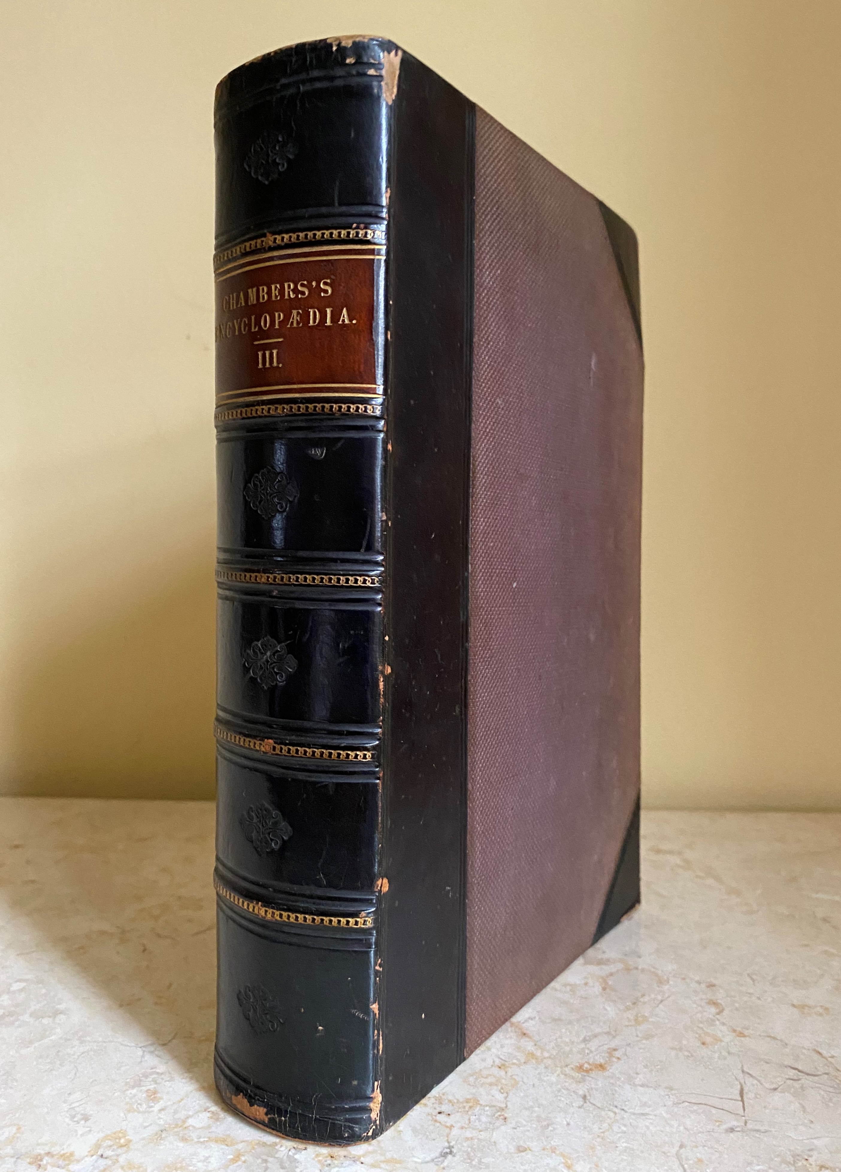
Chambers's Encyclopaedia | A Dictionary of Universal Knowledge for the People Illustrated with Maps and Numerous Wood Engravings | Volume III Only (CHI-ELE) | Maps of: Denmark and Annual Revolution of the Earth Round the Sun W. & R. Chambers [Andrew Findlater (Editor) Assisted by John M. Ross] (Book #ID 110651) Published by W. & R. Chambers, 47 Paternoster Row, London | High Street, Edinburgh 1862. 1862. Hard back binding in publisher's original half black leather, russet pebble cloth sides, spine divided into six panels, red morocco label blocked in gilt to the second, blind tools to the others, blue and cream marble page edges. Quarto. 10'' x 7''. Contains letters (CHI-ELEPHANT), 2 folding maps, Denmark (colour) and Annual Revolution of the Earth Round the Sun (monochrome). Heavy volume weighing 2 kg, extra postage will be requested over and above our default setting for destinations outside of the UK. Member of the P.B.F.A. Click here to select books from the CARTOGRAPHY, MAPS, PLANS Category |
£25.00 Convert currency |

|
Michelin Map of Great Britain No. 106: The Lakes and Moors [Michelin Map of Great Britain] (Book #ID 64667) Published by Michelin Tyre Co. Ltd., 81 Fulham Road, London circa 1925. 1925. Publisher's original orange and blue card covered 20 section colour map dissected on canvas opening to 45'' x 19'' and closing to 10'' x 5''. Scale 3.15 miles to an inch. A little rubbing to the edges of card covers and in Very Good clean condition. Member of the P.B.F.A. Click here to select books from the CARTOGRAPHY, MAPS, PLANS Category |
£11.00 Convert currency |

|
Michelin Map of Great Britain No. 5: The Border Country [Michelin Map of Great Britain] (Book #ID 64668) Published by Michelin Tyre Co. Ltd., 81 Fulham Road, London circa 1925. 1925. Publisher's original orange and blue card covered 20 section colour map dissected on canvas opening to 45'' x 19'' and closing to 10'' x 5''. Scale 3.15 miles to an inch. A little rubbing to the edges of card covers and in Very Good clean condition. Member of the P.B.F.A. Click here to select books from the CARTOGRAPHY, MAPS, PLANS Category |
£11.00 Convert currency |

|
Bartholomew's Handy Reference Atlas of London and Suburbs (Book #ID 100173) Published by John Bartholomew & Son Ltd., The Geographical Institute, Edinburgh Fourth Edition 1921. 1921. Fourth edition hard back binding in publisher's original brick red cloth covers, gilt title lettering to the spine, black title lettering to the front cover, primrose yellow end paper maps. 8vo. 9'' x 6''. Contains (vii), monochrome full-page maps of Clubs, Electric Railways, Theatres, St. Paul's Cathedral, Westminster Abbey, Plan of The Tower, Metropolitan Boroughs, colour Index Map of London, colour Railways and Postal Districts, 33 double-page colour maps. Just a little fraying of the cloth to the spine edges and ends, contents in Very Good clean condition. Member of the P.B.F.A. Click here to select books from the CARTOGRAPHY, MAPS, PLANS Category |
£50.00 Convert currency |
|
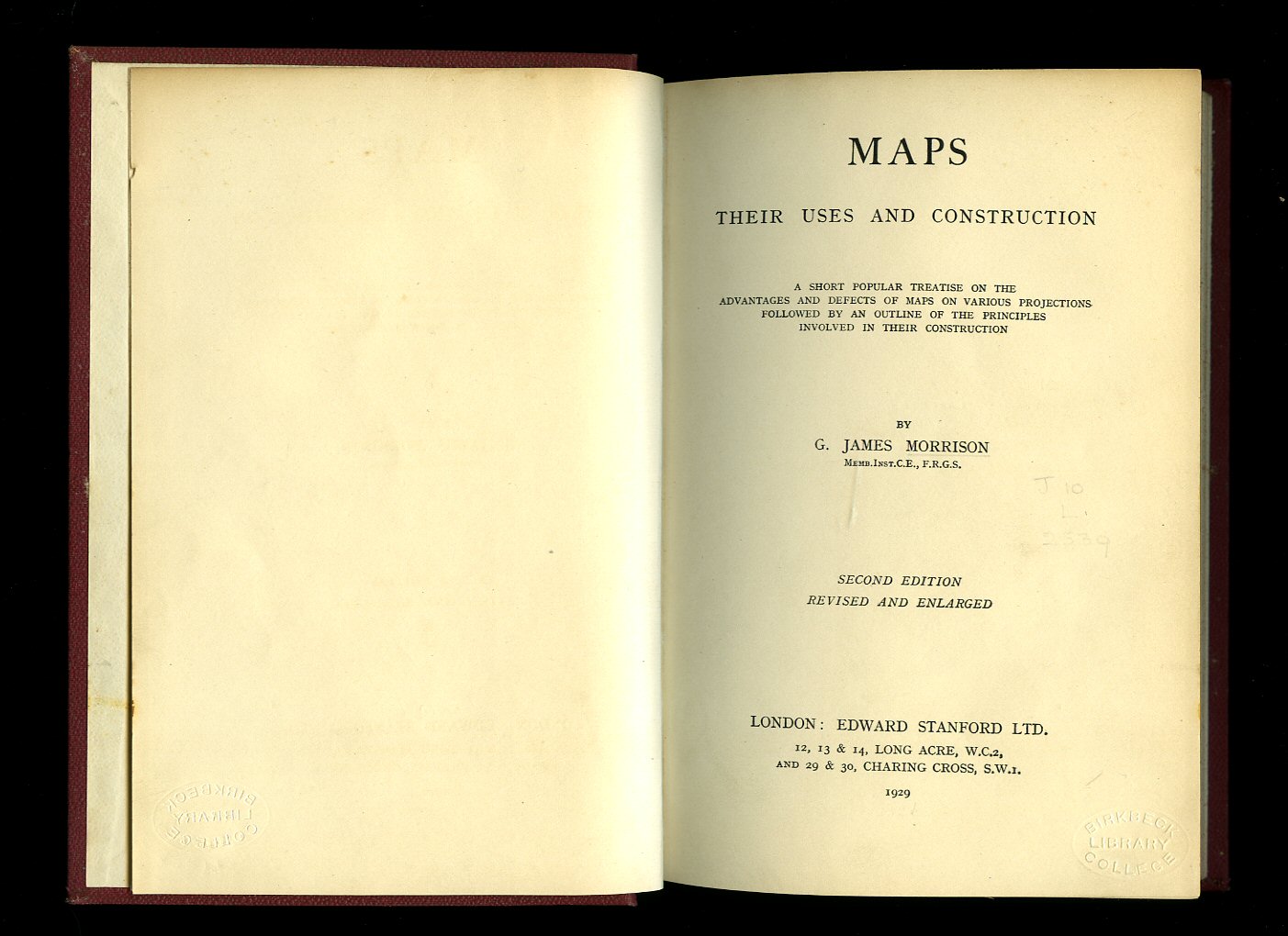
Maps; Their Uses and Construction Morrison, G. James (Book #ID 54067) Published by Edward Stanford Ltd., 12-14 Long Acre, London Second Edition January 1929. London 1929. Second edition, revised and enlarged, hard back binding in publisher's original wine cloth covers, gilt title and author lettering to the spine. 8vo. 7½'' x 5¼''. Contains [xii] 151 printed pages of text with monochrome illustrations throughout. Slight rubs to the spine tips and edges, Birkbeck College Library plate tipped-in to the rear free end paper and in Very Good condition, no dust wrapper. Member of the P.B.F.A. Click here to select books from the CARTOGRAPHY, MAPS, PLANS Category |
£30.00 Convert currency |

|
Looking at Old Maps Booth, John (Book #ID 95381) Published by Cambridge House Books, Westbury, Wiltshire First Edition 1979. 1979. First edition hard back binding in publisher's original navy Rexine covers, gilt title and author lettering to the spine. Quarto 10½'' x 7½''. Contains xvii, (i), 167 pages plus colour frontispiece, 59 full-page monochrome maps throughout. Fine condition book in near Fine condition dust wrapper. Dust wrapper supplied in archive acetate film protection, it does not adhere to the book or to the dust wrapper. Member of the P.B.F.A. ISBN 0906853001 Click here to select books from the CARTOGRAPHY, MAPS, PLANS Category |
£12.50 Convert currency |
|
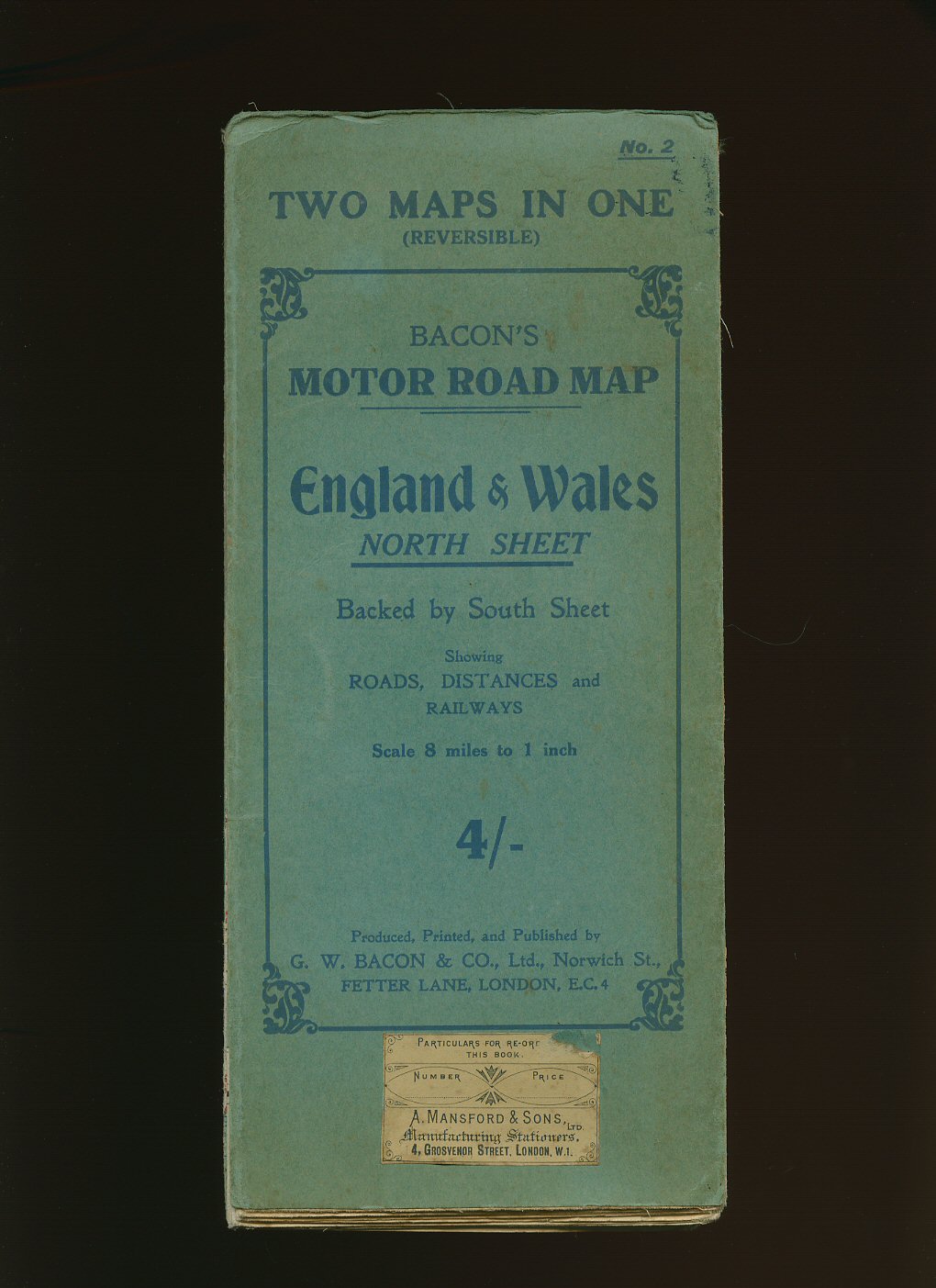
Bacon's Motor Road Map No. 2 of England and Wales [North Sheet] Backed by South Sheet [Bacon, G. W.] (Book #ID 70297) Published by G. W. Bacon & Co. Ltd., Norwich Street, London circa 1920 edition not stated. London circa 1920. Paper folded 27 section reversible colour map in green card covers. Opens to an impressive 40'' x 30''. Scale 8 miles to 1 inch. Showing roads, distances and railways. One tear to one fold. Priced 4/- to the front cover. Member of the P.B.F.A. Click here to select books from the CARTOGRAPHY, MAPS, PLANS Category |
£8.00 Convert currency |

|
Ordnance Survey Administrative Areas Local Government Act 1972: Interim Map of Administrative Areas to be Operative 1974 with Full County and District Information | Supplied with Municipal Year Book 1974 (Wall Map) Ordnance Survey (Book #ID 93685) Published by Ordnance Survey Office Chessington, Surrey 1974. 1974. 33'' x 42'' paper folding colour map. In Fine condition. Member of the P.B.F.A. Click here to select books from the CARTOGRAPHY, MAPS, PLANS Category |
£15.00 Convert currency |
|
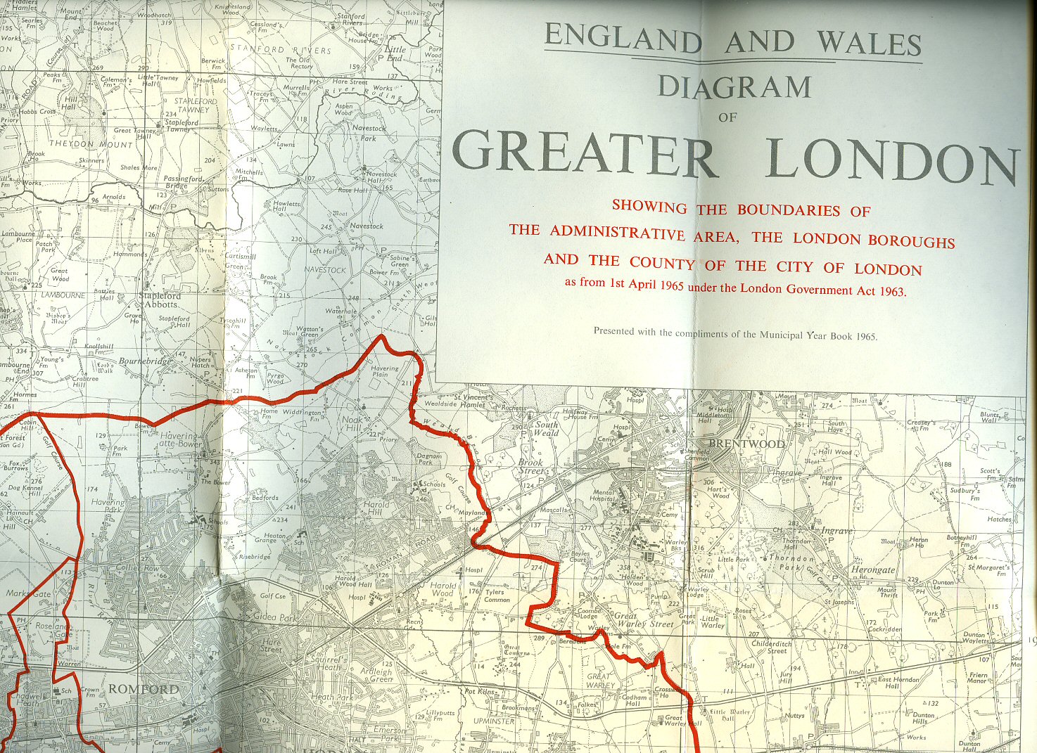
Ordnance Survey Map Showing Diagram of Greater London Showing Boundaries of the Administrative Area, The London Boroughs and the County of the City of London as from 1st April 1965 Under the London Government Act 1963 (Wall Map) Ordnance Survey (Book #ID 93686) Published by Ordnance Survey Office Chessington, Surrey 1964. 1964. 33'' x 42'' paper folding black line map with different thickness red boundary lines. In Fine condition. Member of the P.B.F.A. Click here to select books from the CARTOGRAPHY, MAPS, PLANS Category |
£25.00 Convert currency |
|
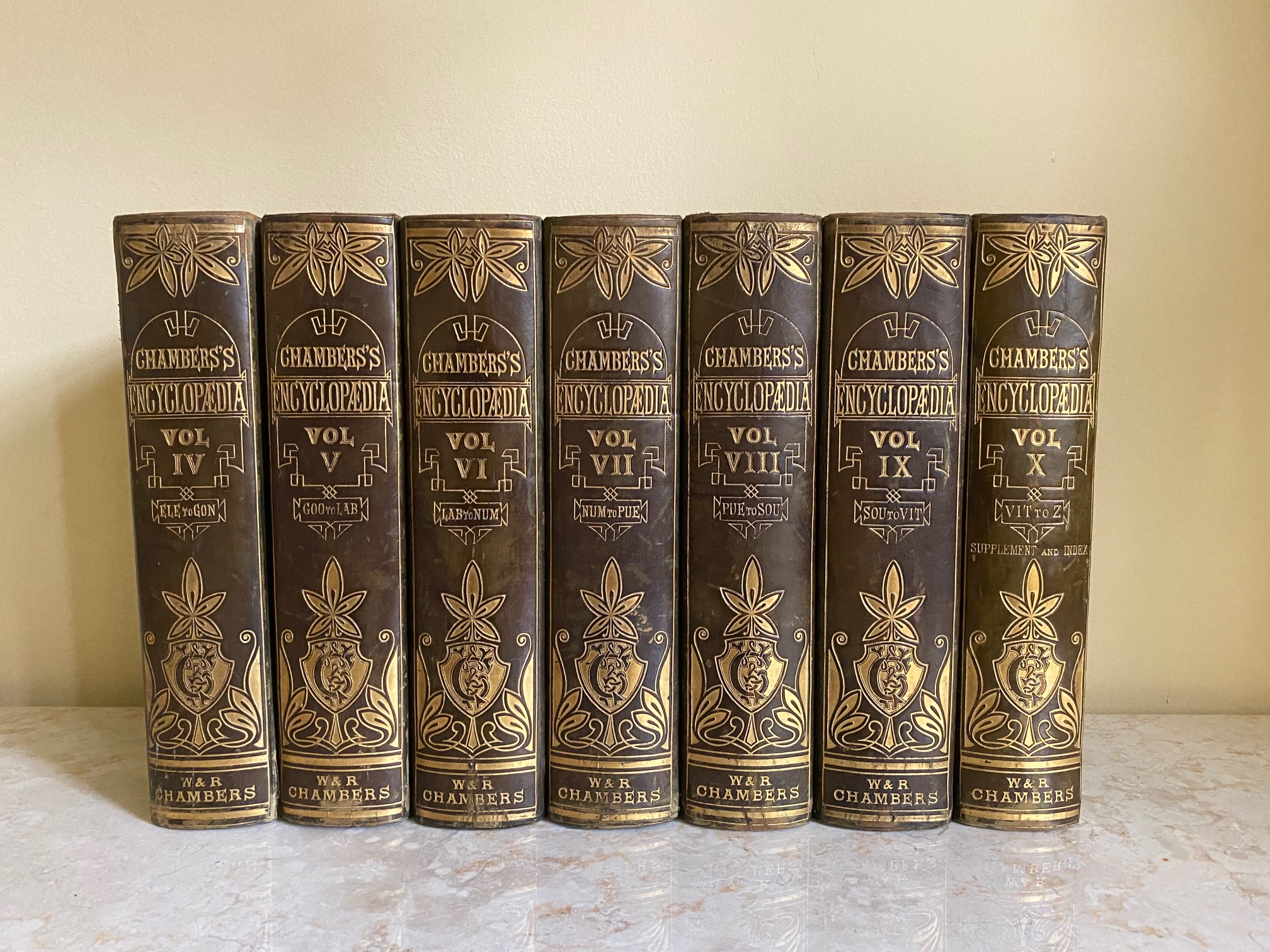
Chambers's Encyclopaedia | A Dictionary of Universal Knowledge for the People Illustrated with Maps and Numerous Wood Engravings | Volume VII Only (NUM-PUE) | Colour Maps of: Palestine, and Prussia W. & R. Chambers [Andrew Findlater (Editor) Assisted by John M. Ross] (Book #ID 110655) Published by W. & R. Chambers, 47 Paternoster Row, London | High Street, Edinburgh 1865. 1865. Hard back binding in publisher's original half green calf, green cloth sides, elaborately tooled and lettered gilt back, smart marble page edges and end papers. Quarto. 10½'' x 7¼''. Contains letters (NUM-PUE), 2 double-page colour maps of Palestine, and Prussia. Heavy volume weighing 2 kg, extra postage will be requested over and above our default setting for destinations outside of the UK. Member of the P.B.F.A. Click here to select books from the CARTOGRAPHY, MAPS, PLANS Category |
£25.00 Convert currency |

|
Magnae Britanniae et Hiberniae Tabula (Great Britain and Ireland Map) Theatrum Orbis Terrarum, 1635. Blaeu, Johan and Willem Blaeu. (Book #ID 103862) Published Jointly with the Royal Geographical Society | Printed by John Bartholomew & Son Ltd., Edinburgh. Coloured facsimile reprint of the original authentic map of Great Britain and Ireland on fine quality water-marked cream paper. 20'' x 24''. In Very Good condition with some crease lines along the bottom edge. Sent rolled in a tube. Member of the P.B.F.A. Click here to select books from the CARTOGRAPHY, MAPS, PLANS Category |
£20.00 Convert currency |
|
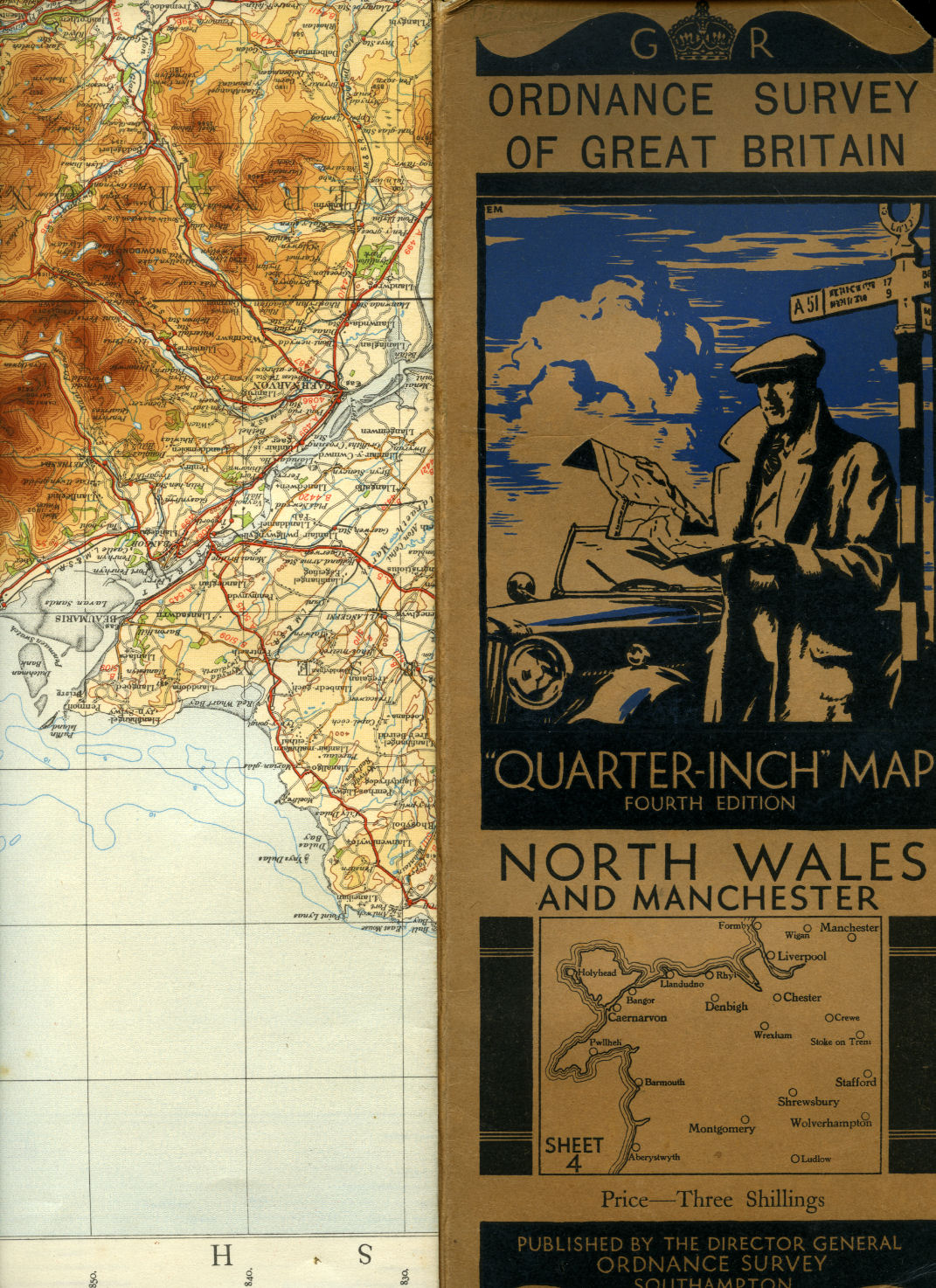
Ordnance Survey of Great Britain | Quarter-Inch Map | Fourth Edition | Sheet 4: North Wales and Manchester Ordnance Survey Office, Southampton (Book #ID 100867) Published by Minister of Agriculture and Fisheries for Ordnance Survey Office, Southampton Fourth Edition 1934. 1934. Publisher's original illustrated front cover brown and blue card covered single-sided map. 12'' x 5'' which folds out to measure 42" x 24". Scale of map is 4 miles to 1 inch, mounted in sections on linen, includes fold-out sheet of 17 town plans with with inset details of Mersey Tunnel Charges and Horse Power limitations. Small chip to the top front corner of the front cover and in Very Good clean and crisp condition. Member of the P.B.F.A. Click here to select books from the CARTOGRAPHY, MAPS, PLANS Category |
£12.50 Convert currency |
|
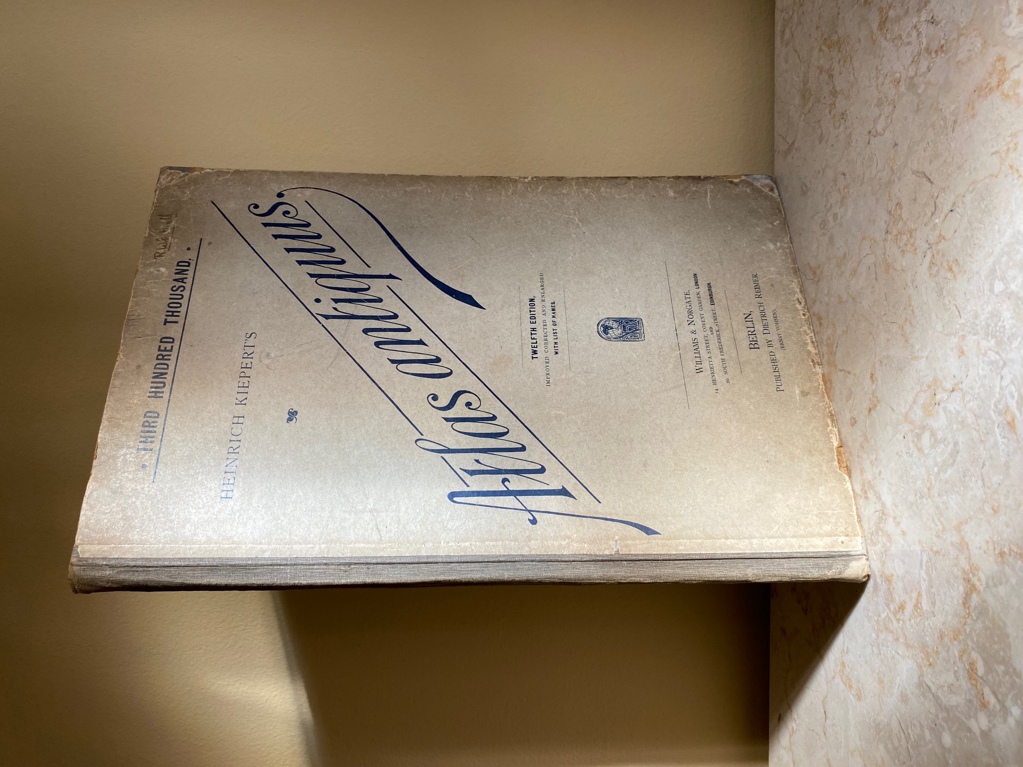
Heinrich Kiepert's Atlas Antiquus | Twelve (12) Maps of the Ancient World for Schools and Colleges Kiepert, Henry [Heinrich Kiepert (July 31, 1818 - April 21, 1899) was a German geographer] (Book #ID 113843) Published by Dietrich Reimer (Ernst Vohsen), Berlin | Williams and Norgate, Ltd., 14 Henrietta Street, Covent Garden, London Twelfth Edition, Improved, Corrected and Enlarged 1898. 1898. Hard back binding in publisher's original grey paper covered boards, dark grey cloth spine. Folio. 14½'' x 10''. Contains 12 single-sided double-page colour maps followed by 27 pp List of Names. One double-page loose and taped back in,, corners rubbed, else in Very Good clean condition. Member of the P.B.F.A. Click here to select books from the CARTOGRAPHY, MAPS, PLANS Category |
£40.00 Convert currency |
![Ordnance Survey One Inch Map of Chichester: Sheet 181 [Seventh Series]](covers/61289.jpg)
|
Ordnance Survey One Inch Map of Chichester: Sheet 181 [Seventh Series] [Ordnance Survey Map] (Book #ID 61289) Published by Ordnance Survey Office Chessington, Surrey Seventh Series 1962. 1962. Paper folded. One Inch to One Mile. In Very Good condition. Member of the P.B.F.A. Click here to select books from the CARTOGRAPHY, MAPS, PLANS Category |
£5.00 Convert currency |
![Ordnance Survey One Inch Map: Sheet 184 Hastings [Seventh Series] [2]](covers/61290.jpg)
|
Ordnance Survey One Inch Map: Sheet 184 Hastings [Seventh Series] [2] [Ordnance Survey Map] (Book #ID 61290) Published by Ordnance Survey Office Chessington, Surrey Seventh Series 1959. 1959. Paper folded. One Inch to One Mile. Couple of internally repaired tears to the top of the card cover and in Good condition. Member of the P.B.F.A. Click here to select books from the CARTOGRAPHY, MAPS, PLANS Category |
£5.00 Convert currency |
![Ordnance Survey One Inch Map of London S. W. : Sheet 170 [Seventh Series] [2]](covers/61286.jpg)
|
Ordnance Survey One Inch Map of London S. W. : Sheet 170 [Seventh Series] [2] [Ordnance Survey Map] (Book #ID 61286) Published by Ordnance Survey Office Chessington, Surrey Seventh Series 1962. 1962. Paper folded. One Inch to One Mile. In Very Good condition. Member of the P.B.F.A. Click here to select books from the CARTOGRAPHY, MAPS, PLANS Category |
£5.00 Convert currency |
![Ordnance Survey One Inch Map of Ludlow: Sheet 129 [Seventh Series]](covers/61288.jpg)
|
Ordnance Survey One Inch Map of Ludlow: Sheet 129 [Seventh Series] [Ordnance Survey Map] (Book #ID 61288) Published by Ordnance Survey Office Chessington, Surrey Seventh Series 1955 With Corrections. 1955. Cloth backed paper folded. One Inch to One Mile. Tear to the top of the card cover and in Good condition. Member of the P.B.F.A. Click here to select books from the CARTOGRAPHY, MAPS, PLANS Category |
£5.00 Convert currency |
|
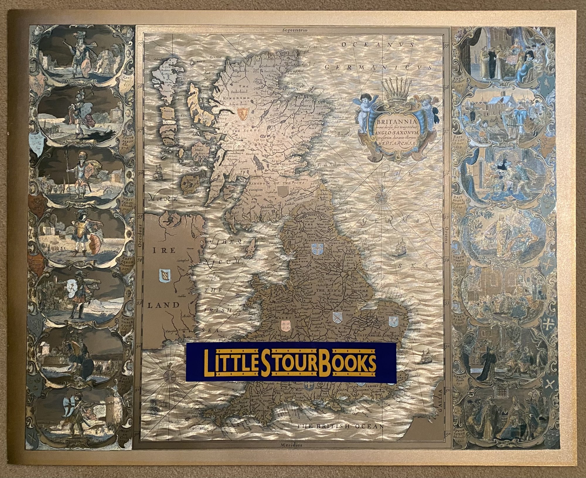
Britannia prout divisa suit temporibus Anglo-Saxonum, praesertim durante illorum Heptarchia. Janssonius Johann (1588-1664) (Book #ID 103863) Coloured facsimile reprint of the original authentic map of England, Scotland and Wales on reflective gold card stock. 16'' x 20''. Map shows England, Scotland and Wales with decorative side borders each comprising vignettes depicting Anglo-Saxon Kings. In Fine condition. Sent rolled in a tube. Member of the P.B.F.A. Click here to select books from the CARTOGRAPHY, MAPS, PLANS Category |
£20.00 Convert currency |
