Home
Search for Books
How to order
Your orders
Customer Comments
Join our mailing list
About
Bookbinding
Search for Books
How to order
Your orders
Customer Comments
Join our mailing list
About
Bookbinding

IBAN:
GB74 BUKB 2017 9210 0341 93
SWIFTBIC:BUKBGB22
GB74 BUKB 2017 9210 0341 93
SWIFTBIC:BUKBGB22
'Wrapro' card boxes which we use for packaging are produced and made from 100% recyclable material
The protective bubble wrap bags we use for packaging are made from 100% Oxo-Biodegradable starch
Little Stour Books was established in 1996
by Colin Button.
© Little Stour Books 2022
SCOTLAND (Gaelic: Alba)
Showing author names starting with -
Clashmaclavers: Sketches and Poems of Scottish Village Life
Derwent, Lavinia(Book #ID 1064)
Published by Oliver & Boyd, London First edition 1947. 1947.
First edition hard back. Ink message to the front free end paper. Near Fine in Very Good dust wrapper with small rubs to edges and ends. Dust wrapper protected. Member of the P.B.F.A.
Click here to select books from the
SCOTLAND (Gaelic: Alba) Category
£15.00
Schiehallion | Colour Vintage Archive Postcard [Post Card]
(Book #ID 113566)
Dated 1911.
5½'' x 3½'' used colour post card. Schiehallion is a prominent cone-shaped mountain in the Breadalbane region of the Scottish Highlands, in the county of Perthshire. In Very Good condition. Member of the P.B.F.A.
Click here to select books from the
SCOTLAND (Gaelic: Alba) Category
£8.00
Bass Rock | Monochrome Vintage Archive Postcard [Post Card]
(Book #ID 113567)
Dated 1926.
5½'' x 3½'' used monochrome post card. In Very Good condition. Member of the P.B.F.A.
Click here to select books from the
SCOTLAND (Gaelic: Alba) Category
£8.00
Transactions and Journal of Proceedings 1918-19 of the Dumfriesshire and Galloway Natural History and Antiquarian Society | Third Series Volume VI (1919)
Reid, R. C. and Mrs G. W. Shirley(Book #ID 110417)
Published for the Council by Dumfries and Galloway Natural History and Antiquarian Society, Dumfries, 1919. 1919.
First edition hard back binding in publisher's original grey paper covered boards, myrtle green binders tape down the spine. 8vo. 9½'' x 6''. Contains 231 pp with 12 full-page monochrome plates. Tanning to the end papers, else in Very Good condition. Member of the P.B.F.A.
Click here to select books from the
SCOTLAND (Gaelic: Alba) Category
£25.00
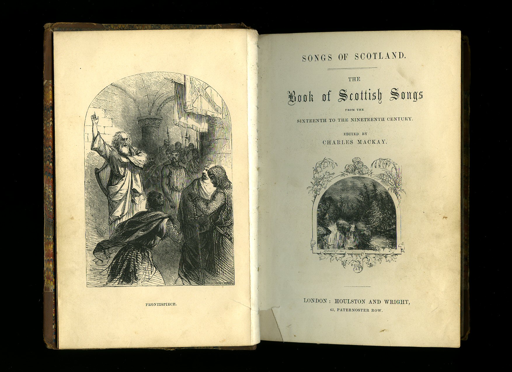
The Book of Scottish Songs
Mackay, Charles [Edited by](Book #ID 4190)
Published by Houlston and Wright circa 1850. 1850.
Hard back. Well illustrated. Half leather, marble paper panels, end papers and page edges. Top of spine chewed. Interior very clean and tidy condition. Member of the P.B.F.A.
Click here to select books from the
SCOTLAND (Gaelic: Alba) Category
£11.00
Parish Life on the Pentland Firth
Pottinger, Morris(Book #ID 83598)
Published by Whitemaa Books, Isauld House, Reay, Thurso, Caithness, Scotland First Edition 1997. Scotland 1997.
First edition hard back binding in publisher's original bright blue paper covered boards, archive map end papers, gilt title and author lettering to the spine. 8vo. 8½'' x 5½''. Contains 191 printed pages of text with monochrome illustrations throughout. Minimal dust marking to the fore edge. Very near Fine clean condition book in Very Good condition price clipped dust wrapper with sun fading to the spine, light rubs and creases. Dust wrapper supplied in archive acetate film protection, it does not adhere to the book or to the dust wrapper. Member of the P.B.F.A. ISBN 0953070905
Click here to select books from the
SCOTLAND (Gaelic: Alba) Category
£8.00
The Contour Road Book of Scotland | A Series of Elevation Plans of the Roads, with Measurements and Descriptive Letterpress
Inglis, Harry R. G.(Book #ID 107922)
Published by Gall & Inglis, 20 Bernard Terrace, Edinburgh 1900. 1900.
Hard back binding in publisher's original Oxford blue cloth covers, gilt title and author lettering to the spine and to the upper panel, radial corners. 32mo. 6'' x 3½''. Contains [15 maps], (x), 296 pp + 8 pp publishers advertisements printed in green with 500 elevation plans, diagrams and maps throughout. Extensive notes filled-out to the end papers, rubbing of the cloth especially to the rear cover. Member of the P.B.F.A.
Click here to select books from the
SCOTLAND (Gaelic: Alba) Category
£20.00
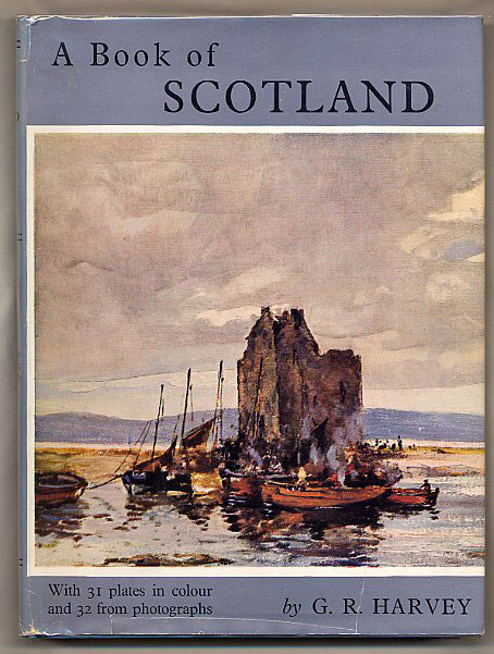
A Book of Scotland
Harvey, G. R.(Book #ID 4936)
Published by Adam & Charles Black, Ltd. 4, 5 & 6 Soho Square, London First edition 1949. 1949.
First edition hard back sky blue covers with silver and maroon title block to spine. Quarto. 216 pp. 31 plates in colour and 32 from photographs. Book is is Fine condition. Dust wrapper has tiny grazes to spine ends without any loss to paper, short closed tear to foot of upper and lower panels which are clean and white, not price clipped. Dust wrapper protected. Member of the P.B.F.A.
Click here to select books from the
SCOTLAND (Gaelic: Alba) Category
£15.00
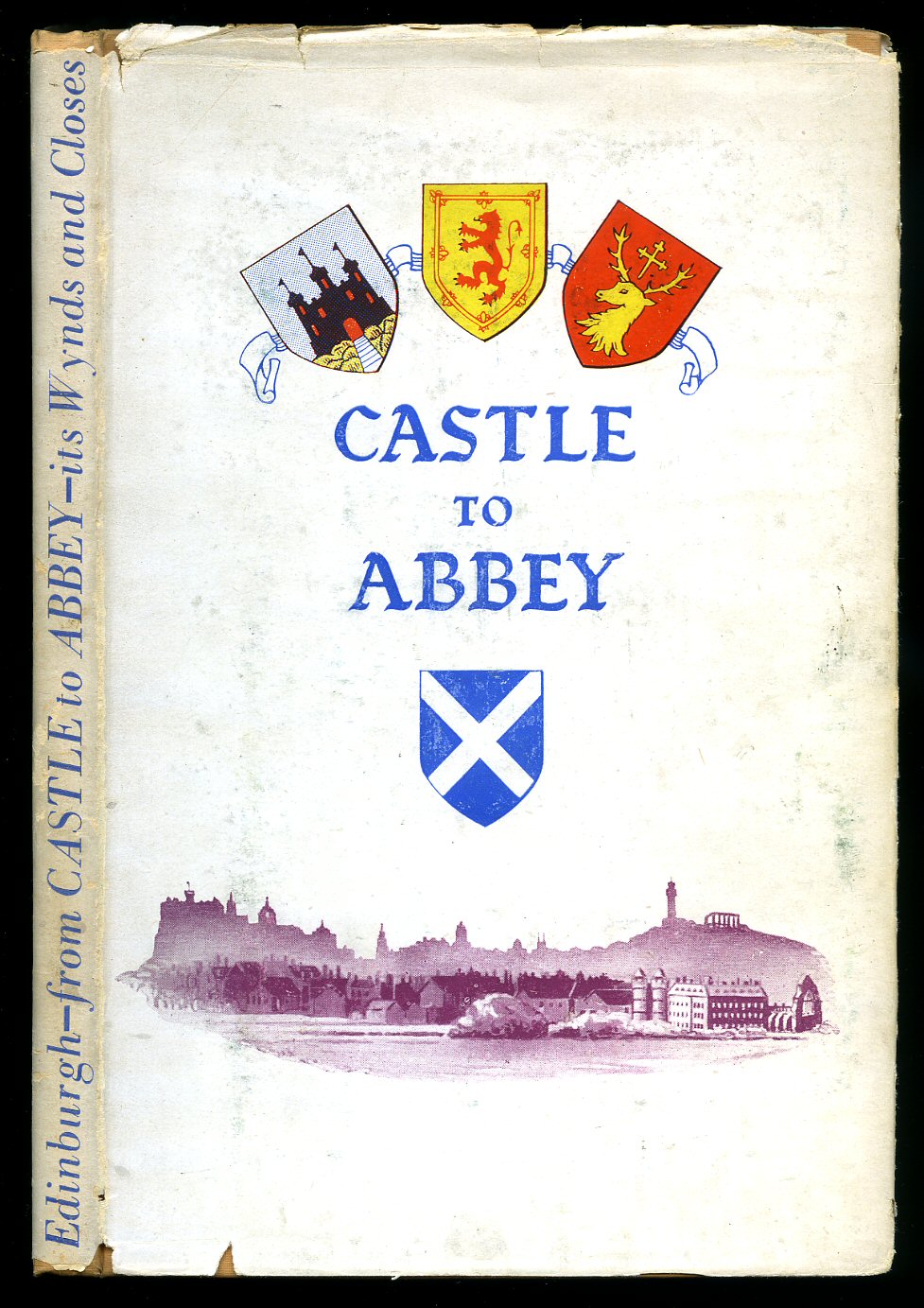
From Castle to Abbey
Dick, William(Book #ID 60523)
Published by The Scottish Automatic Printing Co. Ltd., Portobello 1947. 1947.
Hard back binding in publisher's original peach cloth covers, black lettering to the spine. 8vo 7½'' x 5¼'' 120 printed pages of text with monochrome sketches throughout. Foxing to the front free end paper. Very Good condition book in Good condition dust wrapper with rubbing to edges, spine tips and corners. Dust wrapper supplied in archival acetate film protection. Member of the P.B.F.A.
Click here to select books from the
SCOTLAND (Gaelic: Alba) Category
£9.00
Souvenir of the Highlands | Tourist Guides to The Trosachs (Trossachs), Loch Katrine and Loch Lomond (With Twenty-Four Chromo Views)
(Book #ID 97678)
Published by Thomas Nelson and Sons., 35-36 Paternoster Row, London circa 1892. 1892.
Hard back binding in publisher's original sage green cloth covers, title lettering and colour onlay to the front cover, all page edges gilt. Oblong 4'' x 6''. Contains Victorian chromolithographs of the Highlands of Scotland. Preceding these are two separate guides with many woodcut illustrations - 39 pages each of the Trossachs and Loch Lomond respectively; two full-page line maps followed by 24 single-sided aquatinted coloured plates on thick card stock. Light rubbing to the cover edges and in Very Good clean condition. Member of the P.B.F.A.
Click here to select books from the
SCOTLAND (Gaelic: Alba) Category
£30.00
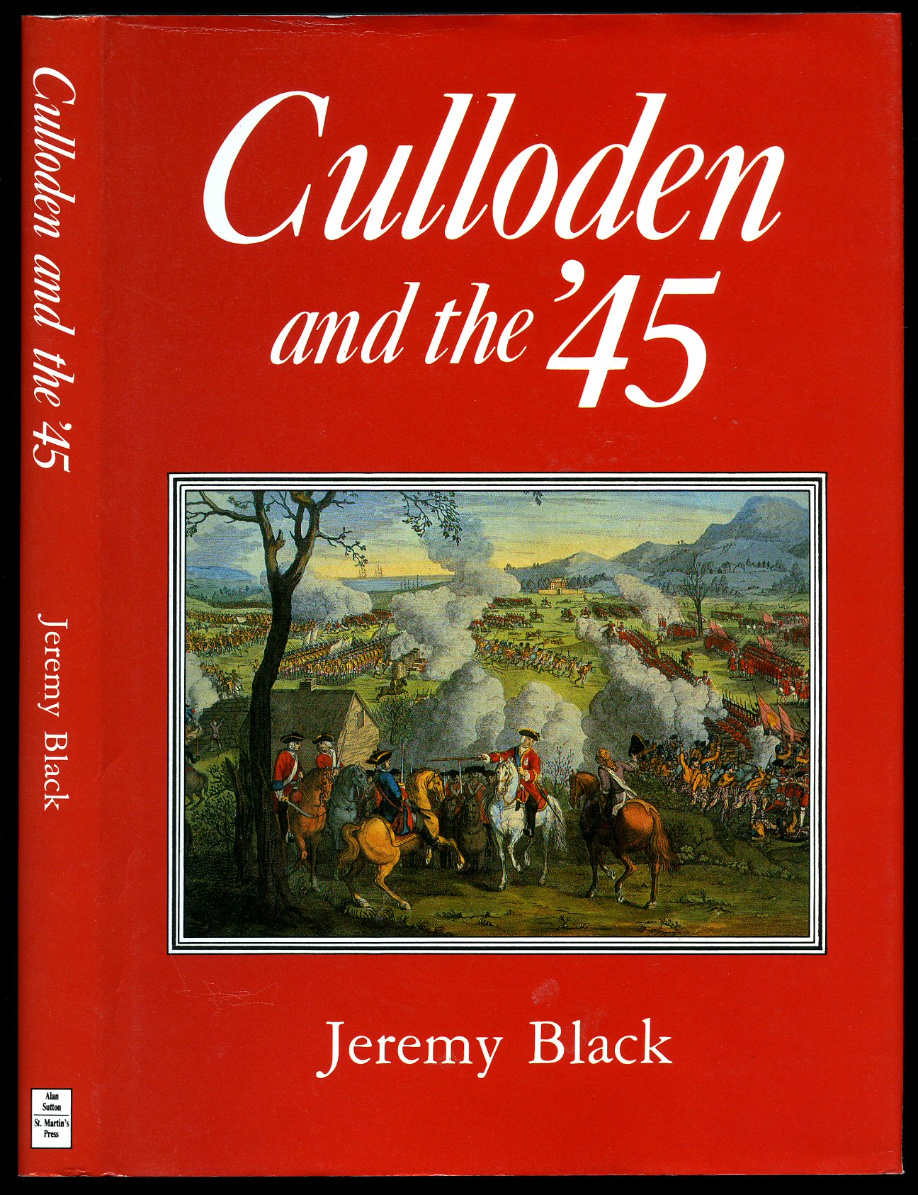
Culloden and the '45
Black, Jeremy(Book #ID 8508)
Published by Alan Sutton Publishing Limited., Phoenix Mill, Thrupp, Stroud, Gloucestershire First Edition 1990. Stroud 1990.
First edition hard back binding in publisher's original black cloth covers, gilt lettering to spine. 8vo x, 217 [pp]. Fine in Fine dust wrapper, not price clipped. Dust wrapper supplied in archival acetate film protection. Member of the P.B.F.A.
Click here to select books from the
SCOTLAND (Gaelic: Alba) Category
£12.50
A Book of Scotland
Harvey, George Rowntree(Book #ID 8451)
Published by Adam & Charles Black, Ltd. 4, 5 & 6 Soho Square, London First Edition 1949. 1949.
First edition quarto. viii, 216 [pp]. Light blue cloth covers, silver and burgundy title block and vignette to spine and upper panel. 31 colour plates, 32 photographs. Very Good condition with spine tip and upper corners turned in, no dust wrapper. Member of the P.B.F.A.
Click here to select books from the
SCOTLAND (Gaelic: Alba) Category
£11.00
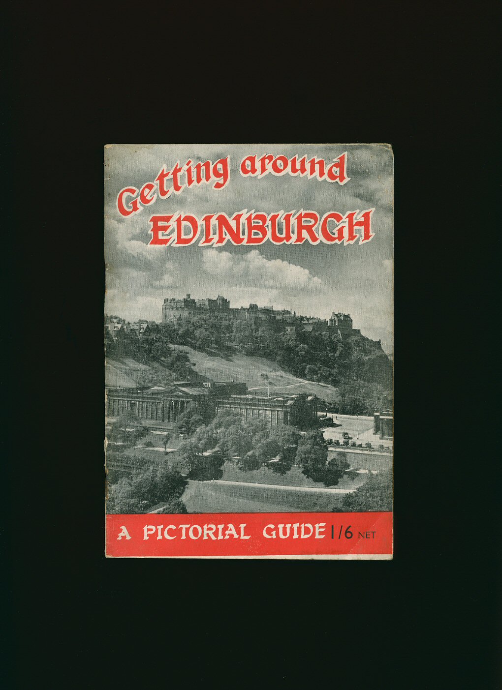
Getting Around Edinburgh: A Pictorial Guide
(Book #ID 8454)
Published by The Albyn Press, Edinburgh circa 1950 edition not stated. 1950.
Paper wraps. 48 pp. Well illustrated. In Very Good condition. Member of the P.B.F.A.
Click here to select books from the
SCOTLAND (Gaelic: Alba) Category
£5.00
Scotland: Pictorial Memories
Hardy, Clive(Book #ID 8473)
Published by Waterton Press Limited, First edition 1998. 1998.
First edition hard back folio. 112 pp. Well illustrated. Small label removed from free front end paper. Nr. Fine in Fine dust wrapper. Member of the P.B.F.A.
Click here to select books from the
SCOTLAND (Gaelic: Alba) Category
£9.50
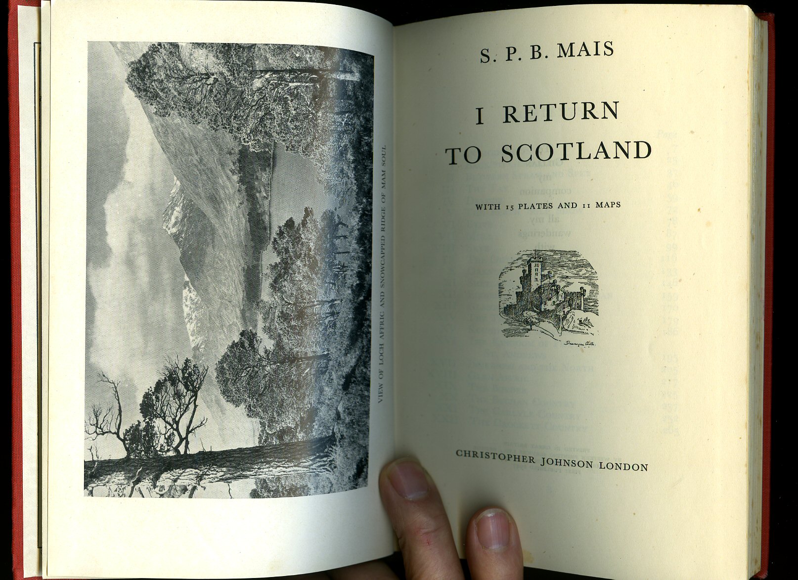
I Return to Scotland
Mais, S. P. B. [1885-1975] Assistant Master at Rossall, Sherborne, and Tonbridge Schools, and Professor of English Literature at the R. A. F. College, Cranwell(Book #ID 8497)
Published by Christopher Johnson Ltd., 11-14 Stanhope Mews West, London First edition 1947. 1947.
First edition hard back scarlet cloth covers, gilt titles. 274 pp. Maps to end papers. 15 plates and 11 maps. Name to the verso of the frontispiece. In Very Good clean and bright condition, no dust wrapper. Member of the P.B.F.A.
Click here to select books from the
SCOTLAND (Gaelic: Alba) Category
£7.50
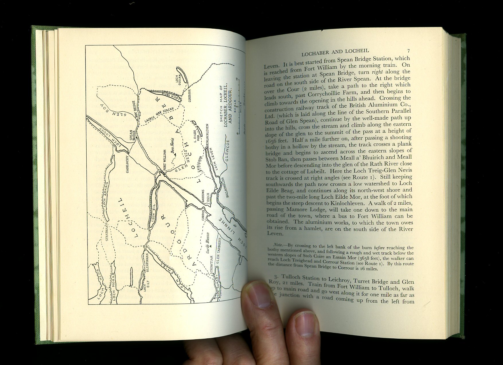
Beyond the Great Glen: A Wayfaring Guide to the North West Highlands
Corson, F. Reid(Book #ID 8498)
Published by Oliver and Boyd, Edinburgh Second Edition 1950. 1950.
Hard back green cloth covers and page tops, gilt and dark green title block to spine. 8vo. xv, 264 [pp]. Eight double page photographic illustrations, nine maps. Small shade mark to foot of spine and board edges, neat name and address to top of free front end paper, no dust wrapper. Member of the P.B.F.A.
Click here to select books from the
SCOTLAND (Gaelic: Alba) Category
£5.00
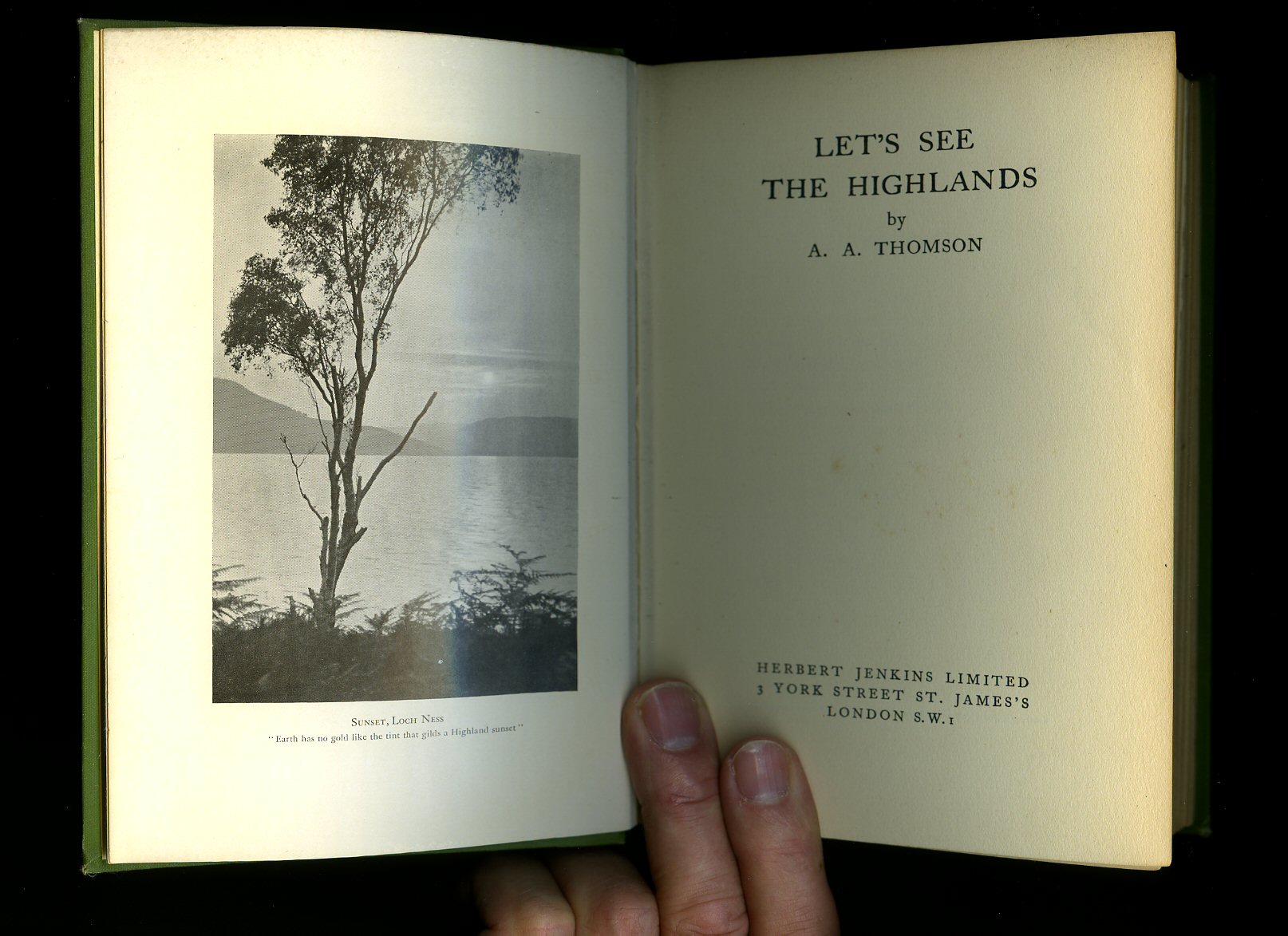
Let's See The Highlands
Thomson, A. A.(Book #ID 8499)
Published by Herbert Jenkins Limited, 3 Duke of York Street, London First Edition 1931. 1931.
First edition hard back green cloth covers, oxidised gilt titles. 272 pp. Maps to end papers, sixteen photographic illustrations. Spine tips turned in, light rubbing to spine edges. In Very Good condition, no dust wrapper, Member of the P.B.F.A.
Click here to select books from the
SCOTLAND (Gaelic: Alba) Category
£8.00
The Road to Rannoch and the Summer Isles [1]
Barnett, T. Ratcliffe(Book #ID 8502)
Published by Robert Grant & Son, 126 Princes Street, Edinburgh 1930. Edinburgh 1930.
Hard back olive cloth covers, black titles, lower edge untrimmed. 8vo, xv, 200 [pp]. Maps to end papers, fifteen photographic illustrations. Spotting to fore edge, couple of small marks to upper panel. In Very Good condition, no dust wrapper. Member of the P.B.F.A.
Click here to select books from the
SCOTLAND (Gaelic: Alba) Category
£7.50
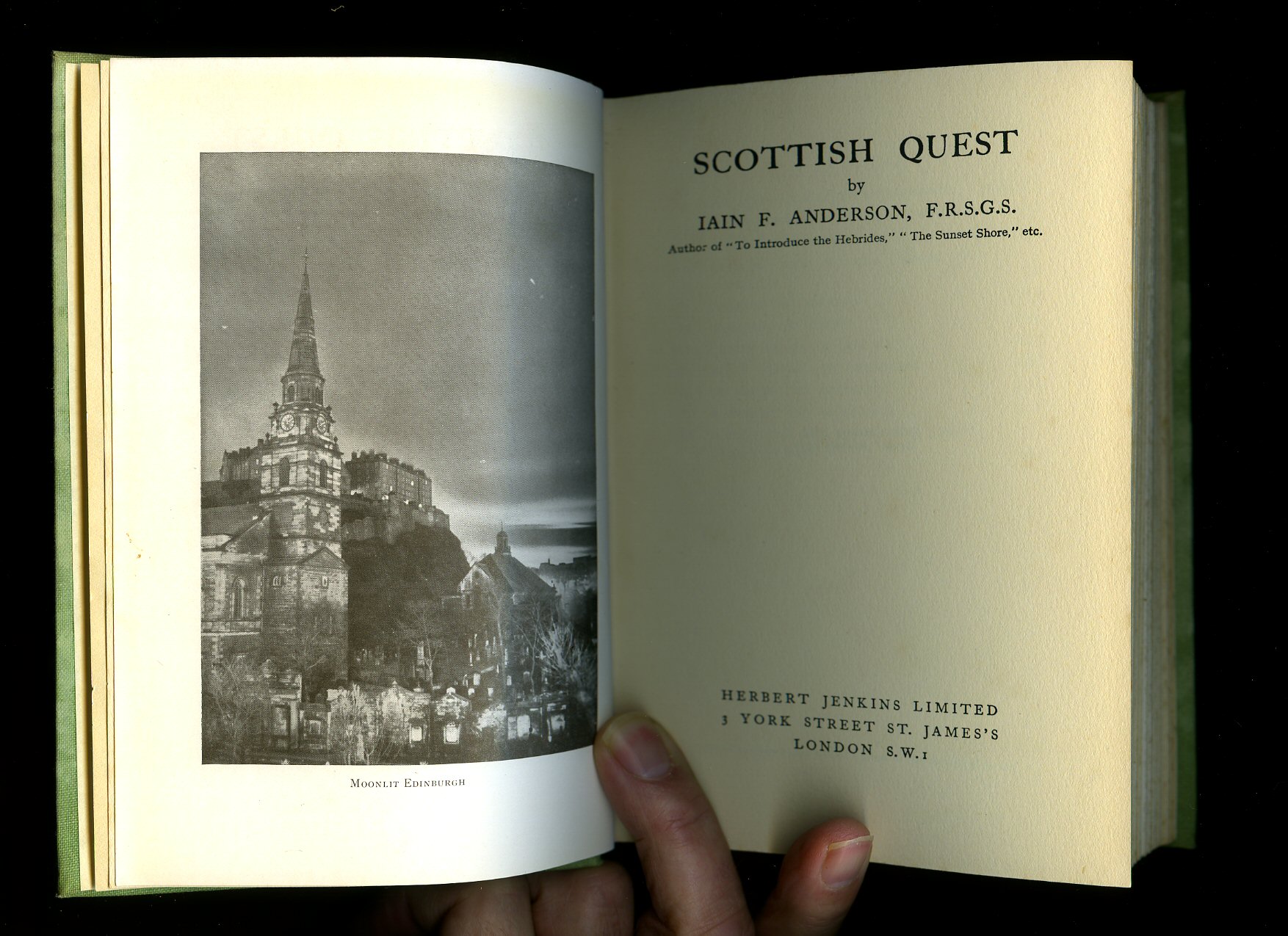
Scottish Quest
Anderson, Iain F.(Book #ID 8504)
Published by Herbert Jenkins Limited, London Second edition 1935. 1935.
Hard back green cloth covers, black titles. 252, 4 [pp]. Well illustrated with photographic illustrations. Lower panel of dust wrapper pasted to free front end paper, spine faded, slight fading to edges, no dust wrapper. Member of the P.B.F.A.
Click here to select books from the
SCOTLAND (Gaelic: Alba) Category
£7.50
Scotland
Hope-Moncrieff, A. R. [A. R. Hope Moncrieff] Painted by Sutton Palmer and G. F. Nicholls(Book #ID 8505)
Published by A. & C. Black, London First thus edition 1927 with new illustrations. 1927.
Hard back blue cloth covers, navy and gilt titles. 8vo. xi, 260 [pp]. Thirty two full page colour plates, one map. In Very Good clean and sharp condition, spine tips turned in, corners sharp and pointed, no dust wrapper. Member of the P.B.F.A.
Click here to select books from the
SCOTLAND (Gaelic: Alba) Category
£22.50
All Around Scotland
Drummond, Robert J.(Book #ID 8510)
Published by The Ettrick Press Ltd., Edinburgh First edition 1947. 1947.
First edition hard back cream cloth covers, black titles. 160 pp. Fifteen photographic illustrations. In Very Good condition, no dust wrapper. Member of the P.B.F.A.
Click here to select books from the
SCOTLAND (Gaelic: Alba) Category
£7.50
Summer in Scotland
Allan, John R.(Book #ID 8520)
Published by Methuen & Co. Limited London 1938. 1938.
Hard back orange cloth covers, dark navy titles. 274 pp. Eight photographic plates, five maps and end papers by C. W. Bacon. Small line of writing fluid to copyright page masking "second edition 1938", spine slightly faded 8/10 and in Very Good condition, no dust wrapper. Member of the P.B.F.A.
Click here to select books from the
SCOTLAND (Gaelic: Alba) Category
£8.00
The Lowlands of Scotland
Scott-Moncrieff, George(Book #ID 8522)
Published by B. T. Batsford Ltd, London Third edition 1949. 1949.
Hard back blue cloth covers, navy titles. 120 pp, maps to end papers, colour frontispiece, many photographic illustrations. In Very Good clean and bright condition, no dust wrapper. Member of the P.B.F.A.
Click here to select books from the
SCOTLAND (Gaelic: Alba) Category
£5.00
Touring Scotland: The Lowlands
Finlay, Ross(Book #ID 8525)
Published by G. T. Foulis & Co. Ltd, Oxford First edition 1969. 1969.
First edition hard back. 193 pp. Illustrated. In Fine condition, no dust wrapper. Member of the P.B.F.A.
Click here to select books from the
SCOTLAND (Gaelic: Alba) Category
£7.50
Glens & Straths of Scotland
Steven, Capbell(Book #ID 8530)
Published by Robert Hale Ltd., Clerkenwell House, Clerkenwell Green, London First Edition 1970. 1970.
First edition hard back. 192 pp. Well illustrated. Front flap pasted to front paste down. In Very Good condition, no dust wrapper. Member of the P.B.F.A.
Click here to select books from the
SCOTLAND (Gaelic: Alba) Category
£5.00
The Highlands of Scotland: The Face of Britain Series [1]
Quigley, Hugh [Illustrated from Photographs by Robert M. Adam](Book #ID 8533)
Published by B. T. Batsford Ltd, London 1939. 1939.
Hard back. 120 pp. Colour frontispiece and many photographic illustrations, fold out map to rear. Front end paper missing, foxing to end papers. In Very Good condition, no dust wrapper. Member of the P.B.F.A.
Click here to select books from the
SCOTLAND (Gaelic: Alba) Category
£5.00
The Central Highlands
Finlay, Ian(Book #ID 8538)
Published by B. T. Batsford Ltd., London First edition 1976. 1976.
First edition hard back. 208 pp. Erased name with felt tip to free front end paper, no dust wrapper. Member of the P.B.F.A.
Click here to select books from the
SCOTLAND (Gaelic: Alba) Category
£5.00
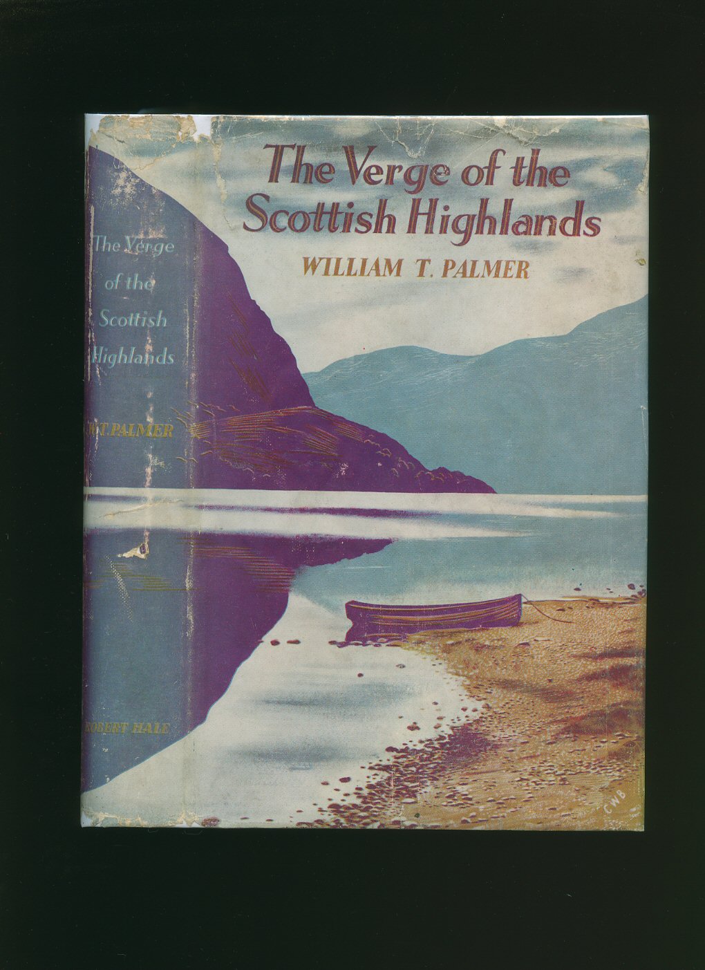
The Verge of the Scottish Highlands
Palmer, William T. [Photographic illustrations by Robert M. Adam](Book #ID 8545)
Published by Robert Hale Ltd., 18 Bedford Square, London First Edition 1947. 1947.
First edition hard back binding in publisher's original purple cloth covers, gilt title and author lettering to the spine. 8vo. 9'' x 6''. Contains 335 printed pages of text with 32 photographic illustrations by Robert M. Adam, large fold-out map. Ink name and address inside. Very Good condition book in Very Good condition dust wrapper with small chips and related closed tears to the spine ends and corners, price clipped. Dust wrapper supplied in archive acetate film protection, it does not adhere to the book or to the dust wrapper. Member of the P.B.F.A.
Click here to select books from the
SCOTLAND (Gaelic: Alba) Category
£9.00
The Highlands of Scotland: The Face of Britain Series [2]
Quigley, Hugh [Illustrated from Photographs by Robert M. Adam](Book #ID 8576)
Published by B. T. Batsford Ltd, London Fourth Edition 1949. 1949.
Hard back light peach cloth covers and page tops, navy titles, illustrated end papers. 120 pp. Fold out map to rear, well illustrated. Light foxing to page edges, name verso to free front end paper. In Very Good condition, no dust wrapper. Member of the P.B.F.A.
Click here to select books from the
SCOTLAND (Gaelic: Alba) Category
£5.00
The Empty Lands: A Guidebook to the West of Scotland from Fort William to Cape Wrath [1]
Atkinson, Tom(Book #ID 8578)
Published by Luath Press Ltd., Barr, Ayrshire 1989. Barr 1989.
Laminated card wraps. 176 pp. Illustrated with woodcuts. Small damp stain to last four pages. Member of the P.B.F.A.
Click here to select books from the
SCOTLAND (Gaelic: Alba) Category
£6.50
Reminiscences of Scottish Life and Character
Ramsay, Dean [Illustrated by Henry W. Kerr](Book #ID 8799)
Published by T. N. Foulis, London & Edinburgh 1920. 1920.
Hard back. 8vo. Brown cloth covers, oxidised gilt titles to spine, fore and lower edges untrimmed. 370 pp. 16 mounted colour illustrations. Lower corners slightly turned in. In Very Good clean and tidy condition. Member of the P.B.F.A.
Click here to select books from the
SCOTLAND (Gaelic: Alba) Category
£7.50
Wester Ross
Grassie, James(Book #ID 97398)
Published by Wester Ross Tourist Organisation, Inverness, Scotland 1979. 1979.
Publisher's original illustrated stiff card wrap covers [soft back]. Landscape 8½'' x 12''. Contains 24 (+ covers) printed pages of with monochrome illustrations and colour photographs throughout, maps inside the front and rear covers. In Fine condition, no dust wrapper as issued. Member of the P.B.F.A.
Click here to select books from the
SCOTLAND (Gaelic: Alba) Category
£12.50
Amid The High Hills
Fraser, Hugh(Book #ID 49121)
Published by Adam & Charles Black, Ltd., 4-6 Soho Square, London First Edition 1923. London 1923.
First edition hard back binding in publisher's original navy cloth covers, gilt title, author lettering and decorations to the spine and the upper panel. 8vo. 9'' x 6½''. Contains [xvi] 224 printed pages of text with 16 colour plates, monochrome illustrations throughout and pencil headings to each Chapter. Ink ownership name to the front free end paper, 10 mm repaired tear to the top of the upper spine gutter, a little fox spotting to the end papers and page edges, firm, square and tight binding in Very Good condition, no dust wrapper. Member of the P.B.F.A.
Click here to select books from the
SCOTLAND (Gaelic: Alba) Category
£45.00
Ordnance Survey One Inch Map of Aberdeen Sheet 45 [Popular Edition Style] Second War Revision
[Ordnance Survey Map](Book #ID 80964)
Published by Ordnance Survey Office Chessington, Surrey November 1942. 1942.
Paper folded 21 section colour map. One Inch to One Mile. Reverse white paper covers are a little grubby, the map is in Very Good condition and without any tears. Member of the P.B.F.A.
Click here to select books from the
SCOTLAND (Gaelic: Alba) Category
£6.00
Browse our
Book Categories
AEROPLANES (297)
AFGHANISTAN (16)
AFRICA [Ethiopia] (21)
AFRICA [Ghana] (14)
AFRICA [Kenya] (19)
AFRICA [Malawi] (2)
AFRICA [Mali] (6)
AFRICA [Mozambique] (4)
AFRICA [Nigeria] (13)
AFRICA [Tanzania] (12)
AFRICA [Uganda] (14)
AFRICA [Zambia] (9)
AFRICAN CONTINENT (79)
AGRICULTURE & FARMING (173)
ALBANIA (3)
AMERICA [Civil War] (39)
AMERICA [History] (293)
AMERICA [Indian History] (82)
AMERICA [Literature] (184)
AMERICA [World War II] (25)
ANDERSEN, Hans Christian (17)
ANGLING & SPORT FISHING (157)
ANIMAL SCIENCES (22)
ANNUALS & YEARBOOKS (169)
AQUARIUM & TROPICAL FISH (10)
ARBORICULTURE (38)
ARCHAEOLOGY (411)
ARCHAEOLOGY (Industrial) (33)
ARCHAEOLOGY (Roman Britain) (96)
ARCHAEOLOGY (Scotland) (156)
ARCHITECTURE (396)
ARDIZZONE, Edward (1900-1979) (103)
ARGENTINA (9)
ARMENIA (5)
ART & CRAFT [Japanese] (48)
ART [American] (71)
ART [Applied] (32)
ART [Australian] (14)
ART [Austrian] (8)
ART [British] (346)
ART [Chinese] (37)
ART [Flemish and Dutch] (77)
ART [French] (136)
ART [German] (61)
ART [Indian] (11)
ART [Italian] (75)
ART [Nouveau and Deco] (28)
ART [Russian] (20)
ART [Spanish] (38)
ART [Surrealism] (41)
ART [Technique & Materials] (142)
ARTILLERY, ARMS & ARMOUR (32)
ASIAN CONTINENT (48)
ASTÉRIX French Comic Series (19)
ASTRONAUTICS (17)
ASTRONOMY & COSMOLOGY (70)
AUSTEN, Jane (1775-1817) (27)
AUSTRALIA (Terra Australis) (88)
AUSTRIA (25)
AVIATION & AERONAUTICS (225)
AZERBAIJAN (5)
BALKANS (16)
BALLET & BALLERINAS (37)
BATES, H. E. (1906-1974) (190)
BATTLE OF BRITAIN (84)
BEDFORDSHIRE (17)
BEEKEEPING & APIARISTS (42)
BELGIUM (Gallia Belgica) (26)
BERKSHIRE (Bearroc) (29)
BICYCLES & CYCLING (11)
BIO (Résumé, Memoir) (1006)
BIOLOGY (66)
BLACKSMITHING (9)
BLYTON, Enid (1897-1968) (99)
BOLIVIA (3)
BOOKMARKS (207)
BOOKS (Binding, Collecting, Printing, Paper) (172)
BORNEO | SUMATRA | JAVA (7)
BOTANY (Phytology) (145)
BOY SCOUTS & GIRL GUIDES (44)
BOY'S OWN PAPER (167)
BRAZIL (Brasil) (17)
BRENT-DYER, Elinor M. (14)
BRIDGE, CHESS & GAMES (87)
BRIDGES & TUNNELS (32)
BRITAIN IN PICTURES (165)
BRITISH IMPERIAL EMPIRE (42)
BRITISH PREHISTORY (77)
BROADSHEETS (240)
BRONTË SISTERS (19)
BUCKINGHAMSHIRE (28)
BUDDHISM, HINDU, DHARMA (33)
BUILDING CONSTRUCTION (65)
BULLFIGHTING (Toreo) (11)
BURMA, BURMESE (Myanmar) (101)
BUSES & COACHES (142)
BUSINESS (Leadership) (82)
CAGE & AVIARY BIRDS (55)
CAMBRIDGESHIRE (33)
CAMPAIGN MEDALS (20)
CAMPANOLOGY (1)
CANADA (History & Culture) (112)
CANAL BARGES & WATERWAYS (56)
CANARY ISLANDS (7)
CARAVANS & DORMOBILES (14)
CARPENTRY & D.I.Y. (59)
CARPETS & ORIENTAL RUGS (17)
CARROLL, Lewis (1832-1898) (12)
CARTOGRAPHY, MAPS, PLANS (141)
CATS [Pedigree Domestic Pets] (113)
CENTRAL AMERICA (35)
CERAMICS & POTTERY (245)
CHANNEL ISLANDS (25)
CHEMISTRY (46)
CHESHIRE (Palatine of Chester) (25)
CHILDREN'S & JUVENILE (2106)
CHILE (13)
CHINA & CHINESE HISTORY (111)
CHIVALRY & KNIGHTHOOD (20)
CHRISTIE, Agatha (1890-1976) (18)
CHURCHILL, Winston L. S. (79)
CIGARETTE & TEA CARDS (63)
CINEMA [Front of House Press Photograph] (101)
CINEMA, SCREEN & FILMS (253)
CIRCUS & FAIRGROUNDS (27)
CLIMATOLOGY & WEATHER (18)
COLOMBIA (12)
COMMERCIAL VEHICLES (41)
COMMUNISM (25)
CONCORDE (British Airways) (27)
COOK, Captain James (5)
CORNWALL (Kernow) (97)
COUNTY DURHAM (31)
CRETE (Kriti | Krete) (10)
CRIMEA and GEORGIA (25)
CROSBY, Bing (1903-1977) (194)
CUBA (Republic of Cuba) (12)
CYPRUS (Republic of Cyprus) (8)
CZECHOSLOVAKIA (60)
DANCING & CHOREOGRAPHY (28)
DECORATIVE ARTS (208)
DEFOE, Daniel (c. 1660-1731) (19)
DEMOGRAPHY (Populations) (38)
DENMARK (Danish Danmark) (19)
DENMARK (Danish | Danmark) (8)
DERBYSHIRE (Peak District) (21)
DETECTIVE | CRIME FICTION (793)
DEVONSHIRE (Dumnonia) (146)
DICKENS, Charles (1812-1870) (52)
DITCHFIELD SERIES (412)
DIVING & SNORKELLING (10)
DOGS (Pedigree Pets) (88)
DOLLS’ HOUSES & DOLLS (43)
DORSET (Durnovaria) (67)
DOYLE, [Sir] Arthur Conan (19)
DRAWING & CRAFTSMANSHIP (103)
ECOLOGY (Earth Science) (47)
ECONOMICS & COMMERCE (274)
ECUADOR (Ecuadorian) (5)
EDUCATION (Teaching) (99)
ELECTRICAL ENGINEERING (62)
ENGINEER (Invent, Innovate) (108)
ENGLAND EXPLORATION (84)
ENGLISH HISTORY (386)
ENGLISH LANGUAGE (107)
ENGLISH LITERATURE (261)
ENTOMOLOGY (92)
ENVIRONMENTAL (54)
EQUINE & EQUESTRIANISM (103)
ESPIONAGE (Clandestine) (92)
ESSEX (Eastseaxe) (70)
ESTONIA, LATVIA & LITHUANIA (9)
ETCHINGS (10)
ETON (Old Etonians) (19)
EUROPE & EUROPEANS (55)
FALKLAND ISLANDS (32)
FASHION (Costume & Millinery) (124)
FEMINISM & FEMINISTS (79)
FINLAND (Suomi, Finnish) (19)
FIREARMS (Defence Weapons) (44)
FIREMEN & FIRE SERVICE (36)
FIRST WORLD (Great) WAR (203)
FLEMING, Ian (1908-1964) (30)
FOLIO SOCIETY (159)
FOOD [Asian & Ethnic] (17)
FOOD [British Cookery] (116)
FOOD [Cuisine Française] (40)
FOOD [Desserts & Pâtisserie] (58)
FOOD [Dietary] (21)
FOOD [Hotels & Restaurants] (48)
FOOD [Retail Brands] (52)
FRANCE [Literature & History) (470)
GAMBLING & BETTING (16)
GARDEN & HORTICULTURE (154)
GENETICS (10)
GEOGRAPHY (Human, Physical) (38)
GERMANY [Language, History] (200)
GERMANY [Luftwaffe & Pilots] (47)
GERMANY [World War II] (80)
GIBRALTAR (13)
GILBERT W. S. & A. SULLIVAN (55)
GLASS (Blowing, Stained) (97)
GLOUCESTERSHIRE (63)
GOVERNMENT & POLITICS (194)
GRAPHIC DESIGN (Visual Arts) (61)
GREECE (Ancient Greek) (134)
GUYANA [Guiana] (2)
GYPSY & ROMANY (7)
HAMPSHIRE (Hantescire) (66)
HANDICRAFTS (Artisanship) (75)
HEBRIDES & ST. KILDA (21)
HENTY, G. A. (1832-1902) (51)
HERALDRY (Armorial Bearings) (51)
HEREFORDSHIRE (15)
HERTFORDSHIRE (43)
HITLER, Adolf (1889-1945) (38)
HONG KONG (18)
HOROLOGY & CHRONOMETRY (42)
HUMOUR (Satire, Cartoon) (401)
HUNGARY (Magyarország) (52)
HUNTS & GAME SHOOTING (101)
I-SPY SERIES (5)
ICELAND (Ísland, Icelandic) (32)
ICHTHYOLOGY (Fish Science) (63)
ILLUSTRATED (Picture Book) (255)
INDIA (Bharat Ganarajya) (201)
INNES, Hammond (1913-1998) (30)
INTERIOR DESIGN (106)
IRAN [Persia] (31)
IRAQ (28)
IRELAND (Éire) (122)
ISLAM (Islamic Art) (41)
ISLE OF LUNDY (7)
ISLE OF MAN (26)
ISLE OF SHEPPEY (9)
ISLE OF SKYE (7)
ISLE OF THANET (34)
ISLE OF WIGHT (45)
ISLES OF SCILLY (9)
ISRAEL (56)
ITALY (History & Culture) (265)
JAPAN (History & Culture) (324)
JAPAN (World War II) (25)
JERUSALEM (25)
JOHNS, Captain W. E. (87)
JORDAN (7)
KAZAKHSTAN (6)
KENT [Airfields and at War] (44)
KENT [Antiquarian] (25)
KENT [Archaeologia Cantiana] (37)
KENT [Ashford] (29)
KENT [Ash] (6)
KENT [Birchington-on-Sea] (8)
KENT [Broadstairs] (5)
KENT [Bromley] (35)
KENT [Bygone Magazine] (30)
KENT [Canterbury] (121)
KENT [Chatham] (20)
KENT [Cinque Ports] (16)
KENT [Deal] (68)
KENT [Dover] (53)
KENT [Eastry] (6)
KENT [Elham] (9)
KENT [Faversham] (28)
KENT [Folkestone] (34)
KENT [Fordwich & Sturry] (10)
KENT [Gravesend & Dartford] (13)
KENT [Herne Bay] (26)
KENT [Hops] (15)
KENT [Ickham, Wickhambreaux] (6)
KENT [Maidstone] (34)
KENT [Maps] (27)
KENT [Margate] (26)
KENT [Ramsgate] (26)
KENT [Rochester & Strood] (36)
KENT [Romney & Hythe] (42)
KENT [Sandwich] (53)
KENT [Sevenoaks] (24)
KENT [Sittingbourne] (6)
KENT [Stourmouth] (16)
KENT [Tenterden] (10)
KENT [Tonbridge] (10)
KENT [Topography] (158)
KENT [Tunbridge Wells] (47)
KENT [Weald] (17)
KENT [Whitstable] (17)
KENT [Wingham] (14)
KENT [Wye] (6)
KEYBOARD INSTRUMENTS (55)
KING PENGUIN (Series) (65)
KIPLING, Rudyard (1865-1936) (28)
KOREA (History and Culture) (60)
LADYBIRD SERIES (13)
LAKE DISTRICT (61)
LANCASHIRE (64)
LATIN (45)
LAW, JUSTICE, LEGAL SYSTEM (80)
LEBANON (5)
LEICESTERSHIRE (21)
LIGHTHOUSES (13)
LINCOLNSHIRE (106)
LINGUISTICS (14)
LITERARY CRITICISM (101)
LITERATURE 1900-1925 (373)
LITERATURE 1926-1945 (504)
LITERATURE 1926-1945 (1)
LITERATURE BEFORE 1800 (16)
LIVERPOOL (29)
LONDON (Londinium) (483)
LONDON (Postcards) (56)
MADAGASCAR (Madagasikara) (4)
MAGIC & CONJURING (949)
MALAYSIA (History & Culture) (43)
MALTA (Maltese History) (24)
MAURITIUS (Mascarenhas) (18)
MAYERL, Billy (1902-1959) (138)
McGILL, Donald (1875-1962) (24)
MECCANO MAGAZINE (88)
MEDICINE & HEALTH (195)
METALLURGY (46)
MEXICO (44)
MICROBIOLOGICAL (23)
MIDDLESEX (Middleseaxan) (19)
MILITARY (Armed Warfare) (171)
MILLIGAN, Spike (1918-2002) (162)
MINING & GEOLOGY (109)
MINING INDUSTRY CORNWALL (12)
MINING INDUSTRY WALES (24)
MISSIONARY (Proselytism) (69)
MODERN FIRST EDITIONS (2873)
MONARCHY (139)
MONGOLIA (23)
MONTHLY TRACT SOCIETY (80)
MOTOR BIKES (80)
MOTORING, SPORTS CARS (458)
MOUNTAINEERING (83)
MUSIC [Classical] (505)
MUSIC [Jazz] (45)
MUSIC [Rock & Pop] (79)
MYSTICISM (UFO's, Folklore) (44)
MYTHOLOGY & LEGENDS (71)
NAPOLÉON Bonaparte (45)
NATURAL HISTORY (132)
NAUTICAL (Shipbuilding) (105)
NEEDLEWORK & TEXTILES (280)
NELSON, Horatio (1758-1805) (23)
NETHERLANDS (Holland) (60)
NEW NATURALIST (Series) (138)
NEW ZEALAND (Aotearoa) (35)
NEWSPAPERS (85)
NINETEENTH CENTURY (473)
NORFOLK (Norfolcia) (81)
NORTH AFRICA [Algeria] (6)
NORTH AFRICA [Egypt] (174)
NORTH AFRICA [Libya] (14)
NORTH AFRICA [Morocco] (25)
NORTH AFRICA [Sahara] (13)
NORTH AFRICA [Sudan] (179)
NORTH AFRICA [Tunisia] (6)
NORTHAMPTONSHIRE (11)
NORTHUMBERLAND (54)
NORWAY & NORWEGIAN (58)
NOTTINGHAMSHIRE (14)
NUMISMATICS (Currency) (23)
NUTRITION (Nutrients) (107)
OBSERVER’S (Series) (374)
OCCULT (Spirituality) (23)
OIL & PETROL INDUSTRY (46)
OMAN (4)
OPERA (58)
OPPENHEIM, E. P. (1866-1946) (78)
ORKNEY & SHETLAND (8)
ORNITHOLOGY (181)
OXENHAM, Elsie Jeanette (13)
OXFORDSHIRE (Oxonium) (34)
PACIFIC (Oceania) (34)
PAKISTAN (15)
PALAEONTOLOGY (23)
PALESTINE (19)
PAPERBACKS (262)
PAPUA NEW GUINEA (11)
PERU (24)
PHILATELY (Postal History) (33)
PHILOSOPHY (200)
PHOTOGRAPHS (61)
PHOTOGRAPHY (132)
PHYSICS (60)
PICTURE COMICS (2039)
PIERS, PAVILIONS & SEASIDE (25)
PIPE, CIGAR & MATCHES (17)
PLAYS (Theatre Performance) (227)
POETRY, VERSE & RHYMES (844)
POLAND & POLISH HISTORY (52)
POLAR [Antarctic] (36)
POLAR [Arctic] (31)
POLICE & PRISONS (43)
POP-UP MOVABLE BOOKS (42)
PORTUGAL & PORTUGUESE (17)
POSTCARDS (225)
POTTER, Beatrix (1866-1943) (26)
PRINTS (39)
PROOF COPY (Advance) (84)
PSYCHIATRY (14)
PSYCHOLOGY (Behaviour) (150)
RADIO [Wireless Telephony] (84)
RAILWAYS & LOCOMOTIVES (538)
RELIGIOUS PAMPHLETS (157)
RELIGIOUS TRACT SOCIETY (172)
ROBIN HOOD BOOKS (12)
ROMAN EMPIRE (Romanum) (150)
ROMANIA [Roumania] (7)
ROWLING, J. K., (6)
ROYAL AIR FORCE (RAF) (147)
ROYAL NAVY (RN) (401)
Rubáiyát of Omar Khayyám (220)
RURAL VILLAGE LIFE (261)
RUSSIAN & SOVIET HISTORY (148)
RUSSIAN [Language] (51)
RUSSIAN [Literature] (115)
RUSSIAN [Military] (27)
SAILING BOATS (Yachting) (113)
SAS & COMMANDOES (23)
SAUDI ARABIA (Arabian) (48)
SAVILLE, Malcolm (1901-1982) (20)
SCIENCE FICTION (68)
SCIENCE FICTION MAGAZINES (625)
SCOTLAND (Gaelic: Alba) (335)
SCOTLAND YARD (6)
SCRAPBOOK (Victorian Cuttings) (5)
SEXTON BLAKE LIBRARY (183)
SEYCHELLES (1)
SHAKESPEARE, William (105)
SHEET MUSIC (1575)
SHIPPING (Liners, Merchant) (224)
SHORT STORIES (Novella) (218)
SHROPSHIRE (Salop) (12)
SIBERIA (Sibir, Siberian) (7)
SICILY (Regione Siciliana) (22)
SLAVERY & TORTURE (9)
SLOVAKIA (Slovenská republika) (7)
SMUGGLING & HIGHWAYMEN (23)
SOCIAL & HUMANITIES (294)
SOCIALISM (Social Democracy) (19)
SOMERSET (Sumortunsæte) (51)
SOUTH AFRICA (Zuid-Afrika) (121)
SPAIN & SPANISH HISTORY (86)
SPANISH CIVIL WAR (21)
SPECIAL OPERATIONS [S.O.E.] (21)
SPORT [Archery] (14)
SPORT [Athletics] (11)
SPORT [Badminton] (4)
SPORT [Billiards & Snooker] (10)
SPORT [Bodybuilding] (30)
SPORT [Bowls & Bowling] (8)
SPORT [Boxing] (42)
SPORT [Cricket] (410)
SPORT [Croquet] (3)
SPORT [Fencing] (5)
SPORT [Football] (327)
SPORT [Golf] (316)
SPORT [Greyhounds] (68)
SPORT [Hockey & Lacrosse] (6)
SPORT [Horse Racing] (144)
SPORT [Lawn Tennis] (70)
SPORT [Netball] (4)
SPORT [Olympics] (16)
SPORT [Polo] (7)
SPORT [Rugby] (31)
SPORT [Self Defence] (25)
SPORT [Skating] (2)
SPORT [Skiing] (8)
SPORT [Speedway] (16)
SPORT [Squash] (5)
SPORT [Swimming] (8)
SRI LANKA [Ceylon] (8)
STAFFORDSHIRE (14)
STAGE & THEATRE (192)
STEVENSON, Robert Louis (40)
STORIES FOR BOYS (452)
STORIES FOR GIRLS (239)
STRUWWELPETER (12)
SUBMARINES (33)
SUFFOLK (Suffolcia) (40)
SURREY (Suthrige) (103)
SURVIVAL TECHNIQUES (8)
SUSSEX (Suth-Seaxe) (142)
SUSSEX [Bexhill-on-Sea] (11)
SUSSEX [Brighton & Hove] (30)
SUSSEX [Eastbourne] (27)
SUSSEX [Hastings] (62)
SUSSEX [Rye & Winchelsea] (25)
SWEDEN (History & Culture) (43)
SWITZERLAND (Culture) (39)
SYKES, Eric (1923-2012) (23)
SYRIA (History and Culture) (9)
TECHNOLOGY (Industrial Arts) (79)
TELECOMMUNICATIONS (48)
TELEVISION ENGINEERING (48)
TERRORISM (17)
THAILAND [Siam] (17)
The B.B.C. (Broadcasting) (86)
THEATRE (Cinema) POSTERS (124)
THEATRE PROGRAMMES (1229)
THEOLOGY & RELIGION (786)
TIBET (Qing Dynasty) (17)
TITANIC (White Star Line) (23)
TOWN & RURAL PLANNING (37)
TOY & MODEL MAKING (185)
TRACTION STEAM ENGINES (27)
TRAMS & TROLLEYBUSES (94)
TRUE CRIME (130)
TUGS AND TOWING (17)
TURKEY (History and Culture) (25)
UKRAINE (6)
UNIFORMS & BADGES (21)
UTTLEY, Alison (1884-1976) (20)
UZBEKISTAN (5)
VETERINARY MEDICINE (9)
VICTORIA CROSS AWARDS (43)
VIETNAM (History & Culture) (29)
VINYL RECORDS 45 r.p.m. | LPs 33 (37)
WALES & WELSH LITERATURE (202)
WARWICKSHIRE (Wæringscir) (41)
WAYSIDE WOODLAND (Series) (105)
WELLINGTON, Duke of (1769-1852) (51)
WEST INDIES [Caribbean] (27)
WESTERNS [U.S.A Old West] (118)
WHALING & WHALES (18)
WILTSHIRE (Wiltunscir) (30)
WIND & WATERMILLS (31)
WINES, BEERS & SPIRITS (76)
WOODCUTS & ENGRAVINGS (35)
WORCESTERSHIRE (7)
WORLD WAR II (Second) (458)
YORKSHIRE (Jórvík) (188)
YUGOSLAVIA (15)
ZEPPELINS, AIRSHIPS & BALLOONING (37)
ZOOLOGY (Animal Biology) (62)
top of page


![Schiehallion | Colour Vintage Archive Postcard [Post Card]](covers/113566.jpg)
![Bass Rock | Monochrome Vintage Archive Postcard [Post Card]](covers/113567.jpg)






![The Road to Rannoch and the Summer Isles [1]](covers/8502.jpg)


![The Highlands of Scotland: The Face of Britain Series [1]](covers/8533.jpg)

![The Highlands of Scotland: The Face of Britain Series [2]](covers/8576.jpg)
![The Empty Lands: A Guidebook to the West of Scotland from Fort William to Cape Wrath [1]](covers/8578.jpg)


![Ordnance Survey One Inch Map of Aberdeen Sheet 45 [Popular Edition Style] Second War Revision](covers/80964.jpg)